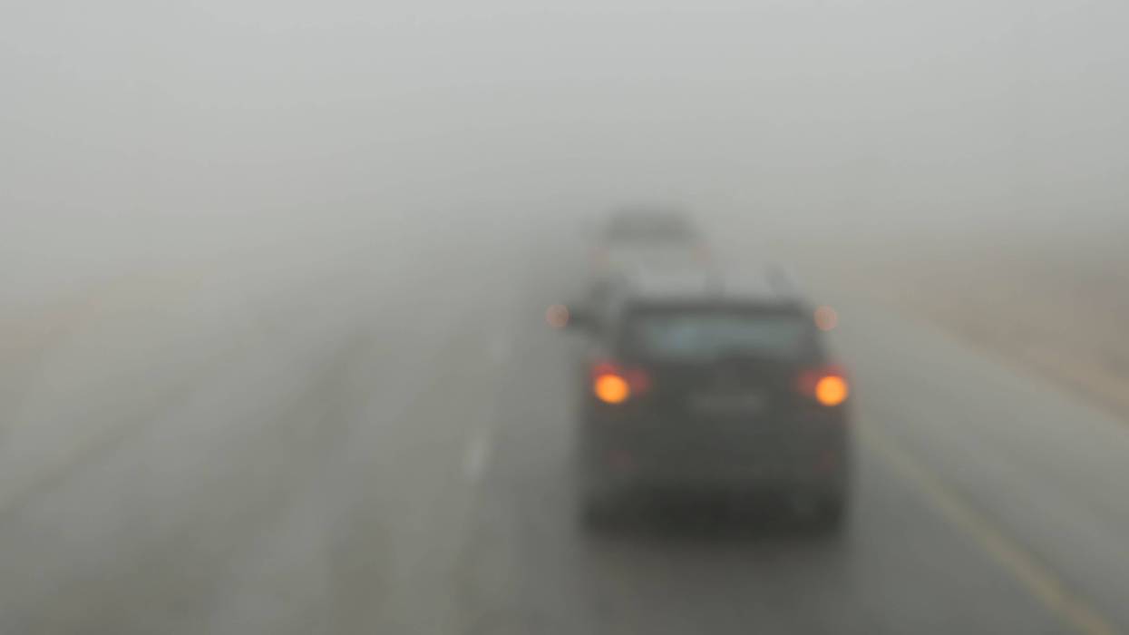
SOUTHFIELD (WWJ) - Metro Detroiters are waking up to yet another foggy morning on Wednesday, prompting a Dense Fog Advisory for almost a dozen counties in Southeast Michigan.
The National Weather Service issued the advisory for the second day in a row after a stalled warm front over the area mingles with an approaching cold front from the Ohio valley, creating the persistent fog.
Shiawassee, Genesee, Lapeer, St. Clair, Livingston, Oakland, Macomb, Washtenaw, Wayne, Lenawee and Monroe Counties all fall under the advisory until 1 p.m.
Meteorologists warned that visibility is reduced to 1/4 mile or less in some areas. The fog is expected to hold through to at least the early afternoon hours as rain showers move into lower Michigan -- and with it, cooler temperatures.
"It's foggy!" WWJ's Charlie Langton said while driving on SB I-75 near 14 Mile early Wednesday morning. "Visibility is a few car lengths, street signs are difficult to see, speeds are slower, and it's raining a little- so, be careful!"
Langton described driving down Lake Shore Drive from Grosse Pointe Farms into the Shores as going "through a cloud."
"You cannot see the lake, you cannot see it!" He said.
Meteorologists warned the thick, rolling fog could cause dangerous driving conditions during the morning commute and urged drivers take extreme caution when out on the roadways.
"If driving, slow down, use your headlights, and leave plenty of distance ahead of you," the NWS warned.
A southernly burst of warm air will bring highs into the lower 50s this afternoon before temperatures fall into the 30s overnight. More January-like temperatures will hold over for Thursday, meteorologists said, keeping daytime highs only in the mid to upper 30s.
After an unseasonably warm few days, Thursday could see the chance for snow showers in the afternoon to evening hours, ranging from a dusting to a couple tenths of an inch, the NWS forecasted.