
SOUTHFIELD (WWJ) -- There's another round of snow on the way to start the weekend in Metro Detroit — expected to make for some slick and tricky travel conditions at times.
AccuWeather Meteorologist Brian Thompson says, after a couple of inches fell Wednesday into Thursday, Metro Detroit will get just a short break before more snow arrives Friday night.
"We'll see some snow start to move in, especially after midnight. So we'll see a period of snow from late tomorrow (Friday) night into Saturday morning," Thompson said.
AccuWeather says, depending on cold it is, there will likely be some rain mixed in with the snow, which will make a mess on the roads.
Drivers should expect slippery travel conditions on roads and freeways Saturday morning.
Overall, most areas of Metro Detroit are only expected to see 1 or 2 inches of snow accumulation with this round (earlier estimates called for up to 4 inches).
AccuWeather says Metro Detroit will see a low temperature in the uppers 39s Friday night, with a relatively warm high getting up to around 35° on Saturday.
But temps are expected to fall back into the 20s Saturday night.
"I would remove that snow as quickly as possible Saturday," Thomson urges, "because once we dip below freezing later in the day on Saturday, it is gonna be a while before we get back above freezing again — probably through most of next week."
Forecasters say the snow is expected to dissipate during the day on Saturday, and should clear up ahead of the Detroit Lions playoff game v. the Washington Commanders, with kickoff set for 8 p.m. on Jan. 18.
"So, if you're traveling later in the day Saturday, things should be improving by then," Thompson said. "I think the worst of the travel issues Saturday should be during the morning."
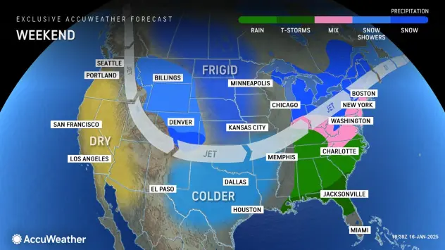
Looking ahead into next week, the frigid air will be the top story in Southeast Michigan.
The National Weather Service says an artic air mass will impact all of Metro Detroit, Monday through Wednesday.
High temperatures in the single digits and low temperatures below zero are expected with bracing wind chills to or below -15°.
AccuWeather says what may be the coldest temperatures of this winter season are expected Tuesday and Wednesday mornings.
Lake effect snow showers are also possible during the first half of next week — although it's too soon too tell if it'll be anything significant.
Get the detailed daily AccuWeather forecast HERE.
Don't get caught out in it! Stay with WWJ Newsradio 950 for weather updates, along with traffic, every 10 minutes on the 8s. Tell your smart speaker "Play WWJ nine-fifty" or stream us live on the FREE Audacy app. >>LISTEN NOW