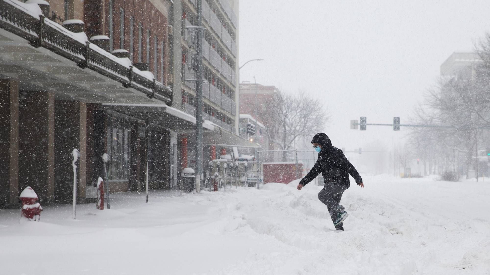
Crashes marked virtually every metro Detroit freeway Tuesday morning, with spinouts and fender benders stretched along I-75, the Davison, I-275, and more.
WWJ's Mike Campbell hit the road and said by 8:30 a.m. the snowfall had already turned into a gray, slushy mess on the pavement. But the worst may be yet to come. "It is no longer snow covered, it is slush covered if you will, smash covered. It is still kind of slippery, but it's mostly water spray at this point. It's foggy out and there is still some snowfall so we have quite a mix.
"I just got off the 96 connector to 275, there is a spin out all the way down the side of the embankment into the weeds there," Campbell said.
WWJ's traffic reporter Dennis Neubacher summed it up like this: "Lots of slippery spots."
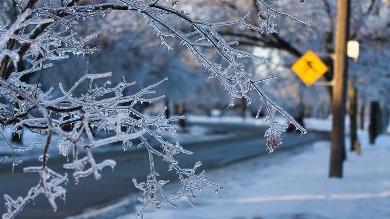
Ice will move in later today, meteorologist Dean DeVore reported, with drizzle and freezing snow and sleet mixed in as the snow tapers off. Tonight's weather will dip down to 22 degrees. Real feels will be in the single digits and teens Thursday and Friday.
"It's really going to be bitter," DeVore said, advising drivers to watch out for slipperiness throughout the day and into tonight as the snow and slush freeze into ice.
Even before the snow turned over to sleet, slush and ice, Neubacher noted numerous spinouts and cars in ditches, even jack-knifed semis as the snow fell during the Tuesday commute. For real-time traffic and weather tune into WWJ on the radio or any digital device or smart speaker -- or click here to see your route in real time: www.wwjnewsradio.com/traffic.

"You will need extra time today," DeVore said. Armada, Dearborn Heights and several other districts closed their schools. Check school closings at www.wwjnewsradio.com/schoolclosings.