(WWJ) - Boaters and swimmers on Lake Huron, Saginaw Bay and even on shores around northern Metro Detroit are being told to stay out of the water as conditions continue to prove hazardous into Tuesday morning.
According to the National Weather Service, marine and small boat advisories remain in effect for portions of Lake Erie, Lake Huron and Lake St. Clair as gusty north-northeast winds reach 28 to 32 knots with the risk of "life-threatening waves and currents."
The Small Craft Advisory remain in effect for the shorelines of Marine Outer Saginaw Bay to Harbor Beach until 11 a.m. on August 8. At its height, waves of up to 11 feet with wind gusts up to 37 mph are expected.
and for Harbor Beach down to Port Huron through 2 p.m. with winds forecasted to howl up to 32 mph with waves up to 10 feet.
"Inexperienced mariners, especially those operating smaller vessels, should avoid navigating in hazardous conditions," the NWS warned.
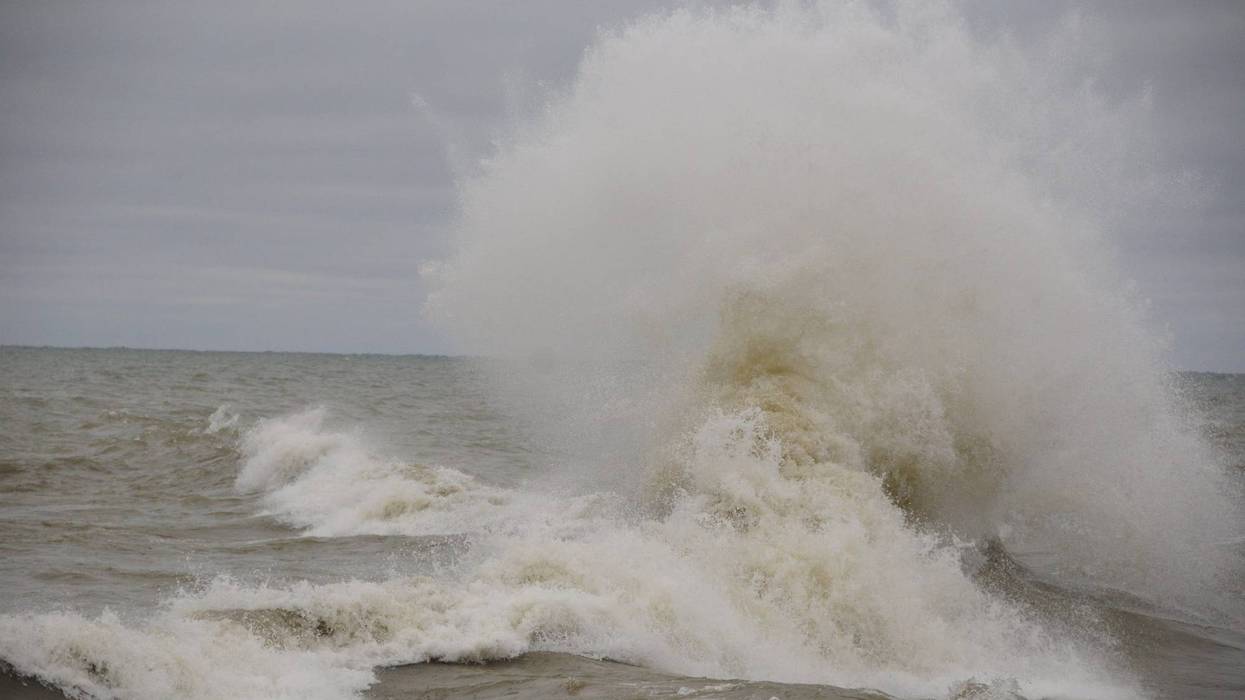
The hazards also affect beaches around Saginaw Bay and Lake Huron as "significant" waves are kicked up near the shoreline, reaching 3 to 6 feet and cresting at heights of 5 to 8 feet.
Swimmers are at a "high swim risk of life-threatening waves and currents," meteorologists with NWS warned. "Currents can pull swimmers into deeper water."
The maximum winds are expected around 8 a.m. Tuesday with the largest waves expected just after 6 a.m.
While conditions will improve as winds and waves diminish as the day goes on, the NWS said there is a slight chance of showers and thunderstorms in the afternoon that also have the potential to spin off waterspouts.
Mariners are advised to stay current on the latest weather conditions by tuning in to NWS updates here.