(WWJ) Metro Detroiters are urged to stay home if they can, Thursday evening, with a winter storm making a dangerous mess on the roads.
As temperatures dropped, rain on Thursday morning changed to freezing rain and sleet, and eventually to a good sized snowstorm causing major issues during the afternoon commute.
A Winter Storm Warning went into effect at 3 p.m. Thursday, scheduled to last until 3 a.m. Friday for most of the WWJ Newsradio 950 listening area.
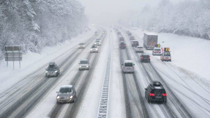
And within an hour or so, numerous spinouts and crashes began on slick area roads and freeways.
The heaviest snow was expected to begin slowing down by around 10 p.m. in most areas, before tapering off between midnight and 4 a.m., the NWS said. AccuWeather said total accumulations were around or just above six inches in most locations.
WWJ's Brooke Allen joined Tony Ortiz and Jackie Paige live Thursday afternoon to report she had to pull over on her way home.
It took her about 10 minutes to defrost her car after the morning rain left a thick layer of ice on her windshield.
"Usually it takes me just 15 minutes to get home, and I'm still not home. I live in Royal Oak -- 15 minutes from the studio -- and I actually stopped in Berkley just to get a break because it is really coming down," Allen said.
The snow, which the National Weather Service says was coming down at rates of an inch per hour, had already led to several major issues on freeways by about 4 p.m.
CHECK THE SCHOOL CLOSINGS LIST
The WWJ Traffic Center reported there were multiple crashes on all of the major freeways, including a semi-truck that had spun around, facing the wrong way on eastbound I-696 near Orchard Lake Road, causing big backups. That crash has since cleared.
Other trouble spots included the WB I-96 express lanes, just past the Southfield Freeway -- where all lanes were reportedly blocked due to numerous crashes -- I-75 near 14 Mile and westbound I-696 near Woodward.
A traffic map showed major backups on nearly every major freeway across the area during rush hour.
WWJ Traffic reporter KT says drive times all across the area were taking much longer than usual, with traffic moving at 40 mph or lower. Some WWJ tipsters even reported traveling on I-75 at just 10 mph in the Auburn Hills area.
WWJ's Ryan Marshall reported it took him nearly 45 minutes to drive from Southfield to Novi, typically about a 15-minute ride.
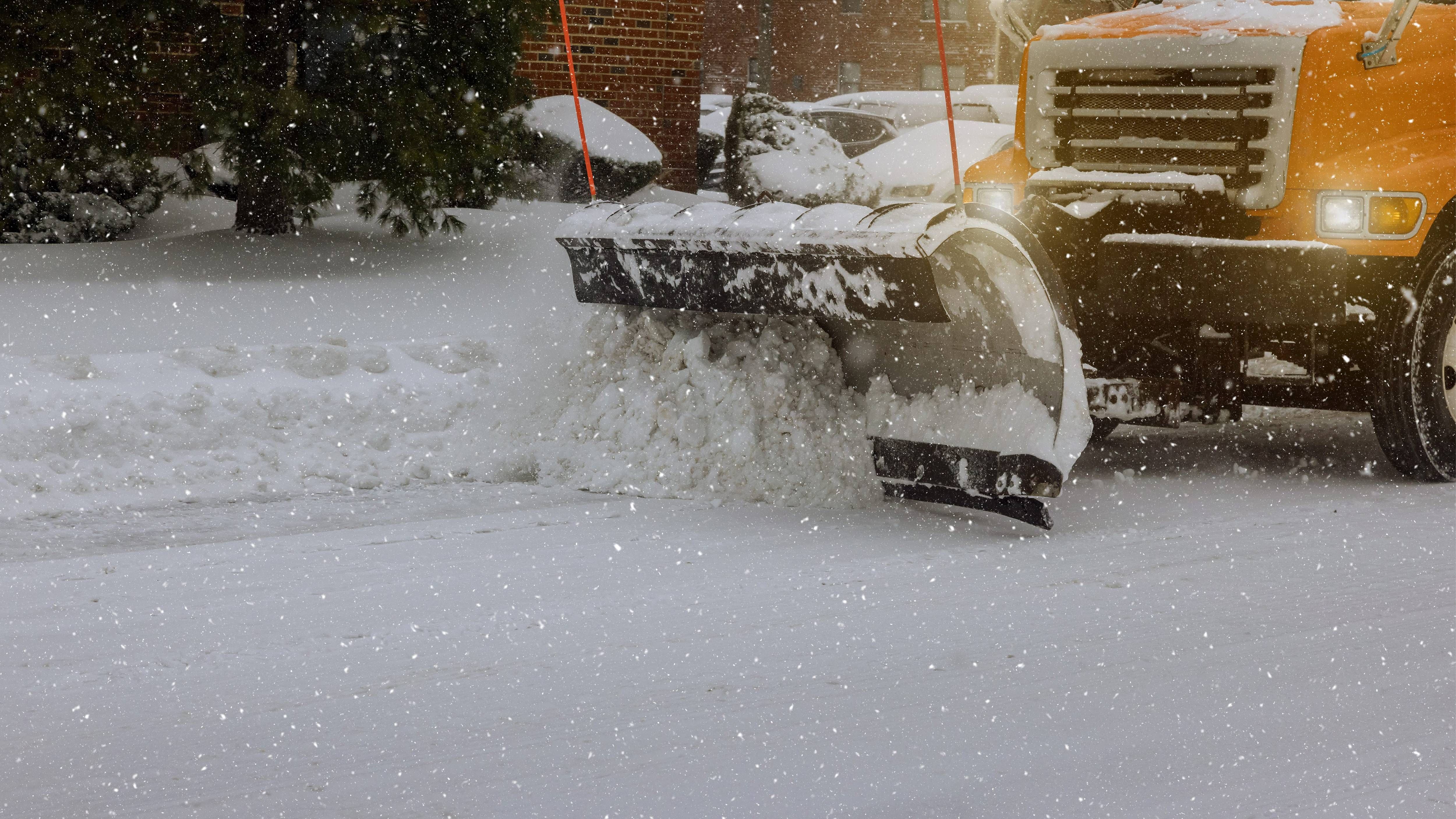
Craig Bryson, with the Road Commission for Oakland County, told WWJ his crews had a tough time pre-treating area roadways with salt, due to the earlier rain.
He said crews would be out all night Thursday and all day Friday. Several MDOT snow plows were already out and about early Thursday evening.
AccuWeather is calling for 6-12 inches of snow accumulation when all is said and done by Friday morning.
"There's going to be some really intense snowfall rates for a couple of hours -- maybe an inch or two an hour," said AccuWeather meteorologist Dean DeVore.
DeVore said roads would begin to worsen this afternoon and get icy by tonight as the temps drop down into the low teens. Expect snow-packed and slippery roads Thursday night and Friday morning.
"It's gonna be a mess," DeVore said early Thursday morning.
Roads will be icy Friday morning, but later in the day it will be mostly sunny with temperatures reaching a high near 25.
DeVore said snow showers will come back Friday night into Saturday morning that could cause some icy spots.
We can expect to see some calmer weather on Sunday with temps reaching into the 40s and then low 50s on Monday.
Keep your radio tuned to WWJ Newsradio 950 for the latest weather and traffic updates every 10 minutes on the :08s. >>> LISTEN LIVE HERE , or download the free Audacy App and favorite WWJ.