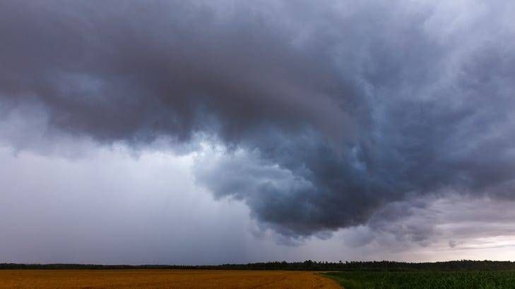
(WWJ) An image of a rather large waterspout forming of Lake Huron on Tuesday is getting some attention on social media.
A photo shared by the Mackinac Bridge Authority showed the intimidating looking twister, stating that it was spotted off the north anchor pier of the Mackinac Bridge, at around 11:10 a.m.
At 11:24 a.m., Mackinac County 911 & Emergency Management tweeted that a thunderstorm producing waterspouts was located near Mackinac Island, moving southeast at 10 knots. The weather warning expired at noon, and the skies have since cleared in that area.
Responding to the photo on twitter, @TeriU5122 wrote: "Yikes 😳 ! It must have been offshore by St. Ignace. That would have been a sight traveling over the bridge."
There were no injuries or damage reported in connection with the waterspout.
While some people may confuse a waterspout with a tornado, they're different phenomena — while what they have in common is the potentially dangerous, high-speed rotation.
According to the National Weather Service, a waterspout is an "intense columnar vortex that occurs over a body of water." They're connected to a cloud, always occur over water, and can be very dangerous to boaters.
While they can look just as scary, waterspouts are generally weaker than tornadoes and usually dissipate when they reach land. If a waterspout does move onshore, the NWS issues a tornado warning, as some of them can cause significant damage.
Learn more about waterspouts from the National Oceanic and Atmospheric Administration (NOAA) here.