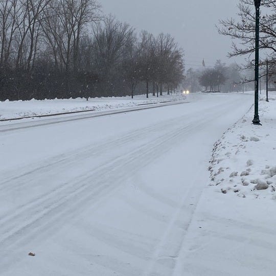

(WWJ) Another blast of snow is expected to hit southeastern Michigan and it could cause a slow Wednesday morning commute.
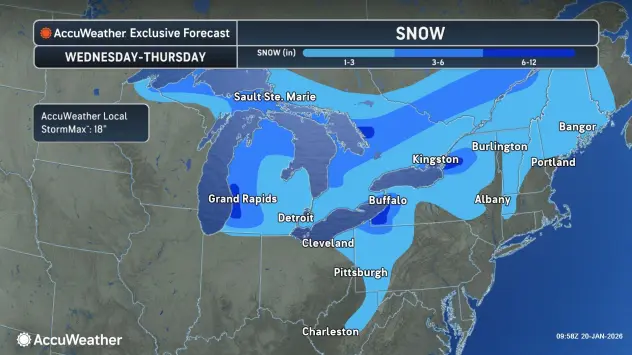
The National Weather Service has issued a Winter Weather Advisory from 3 a.m. to 1 p.m. Wednesday for all of southeast Michigan.
About one to three inches of snow is expected, according to AccuWeather meteorologist Brian Thompson. He says the snow will start falling around 3 a.m. or 4 a.m.
The National Weather Service says peak snowfall intensity is expected between 4 a.m. and 10 a.m.
Drivers can plan on slippery road conditions which could impact the morning commute. Local police advise drivers to slow down and don't tailgate.
We'll have updates throughout the morning and all day on WWJ, AM 950, or you can listen anytime here.
Much of southern lower Michigan is expecting a fresh coating of snow. The National Weather Service has posted Winter Weather Advisories for counties south of a line from Midland to Ludington. Anywhere from two to six inches of snow is expected.
In northern Michigan, some areas have already matched their snow totals for an entire year.
The National Weather Service in Gaylord says snowfall totals in Sault Ste. Marie, which has measured 120-inches of snow, have already reached the normal amount for an entire winter season.
More than normal amounts are also reported in Alpena, Traverse City, Petoskey, West Branch and Houghton Lake.