
(WWJ) - Detroit may have recorded the wettest start to the new year last month, but the area is falling increasingly short when it comes to snow -- now it looks like residents in the northern suburbs may finally get some accumulation on Thursday.
The National Weather Service has issued a Winter Weather Advisory for a portion of the Metro Detroit area, in effect from 4 a.m. until 1 p.m. Thursday. The advisory includes Macomb, Oakland, Livingston, Genesee. Lapeer, St. Clair and Shiawassee counties.
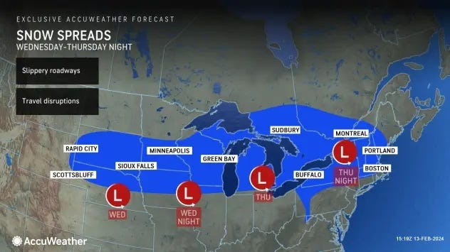
AccuWeather meteorologists say an Alberta Clipper -- a fast moving low pressure system that originations in Alberta, Canada and into the Midwest -- is expected to streak across Michigan, bringing with it widespread precipitation to Southeast Michigan between 6 a.m. to 2 p.m. Thursday.
A wintry mix with brief light freezing rain is possible for the immediate Metro Detroit area and southward with just enough snow -- a trace to an inch -- to make morning travel conditions slightly slushy, AccuWeather meteorologist Joe Lundberg said.
AccuWeather predicted 3 to 6 inches of heavier snow is possible along and north of I-69, striking the northern most tips of Oakland and Macomb Counties and up into Genesee, Lapeer and St. Clair Counties.
Temperatures are expected to start out below freezing as precipitation begins to fall, the Detroit office for the National Weather Service forecasted, but a warm up will bring temps into the low 40s across Metro Detroit, causing any snow to transition into rain.
Temperatures are expected to hold steady in the mid-30s the closer you get to the Tri-Cities and Thumb regions.
"Some roads in the region could become slushy and slippery, especially north and west of the Detroit metro area," AccuWeather warned.
The NWS said there are considerations yet with the storm that will -- hopefully -- became more clear as the system nears.
"Main uncertainty with this system is the timing of the warming and amount of wintery mix that will over over Metro Detroit. As a result, low confidence exists in the potential for very light icing," NWS meteorologists said. "Uncertainty exists in the exact location of any heavy snow banding along and north of I-69."
The NWS office in Gaylord is preparing for the largest snowfall amounts to strike Mid-Michigan and into the Lower Northern peninsula with accumulations between 3 to 5 inches with some locally heavy snowfall up to 7 inches.
As the system moves out, areas in Mid to Northern Michigan could still be impacted with bands of lake effect snow.