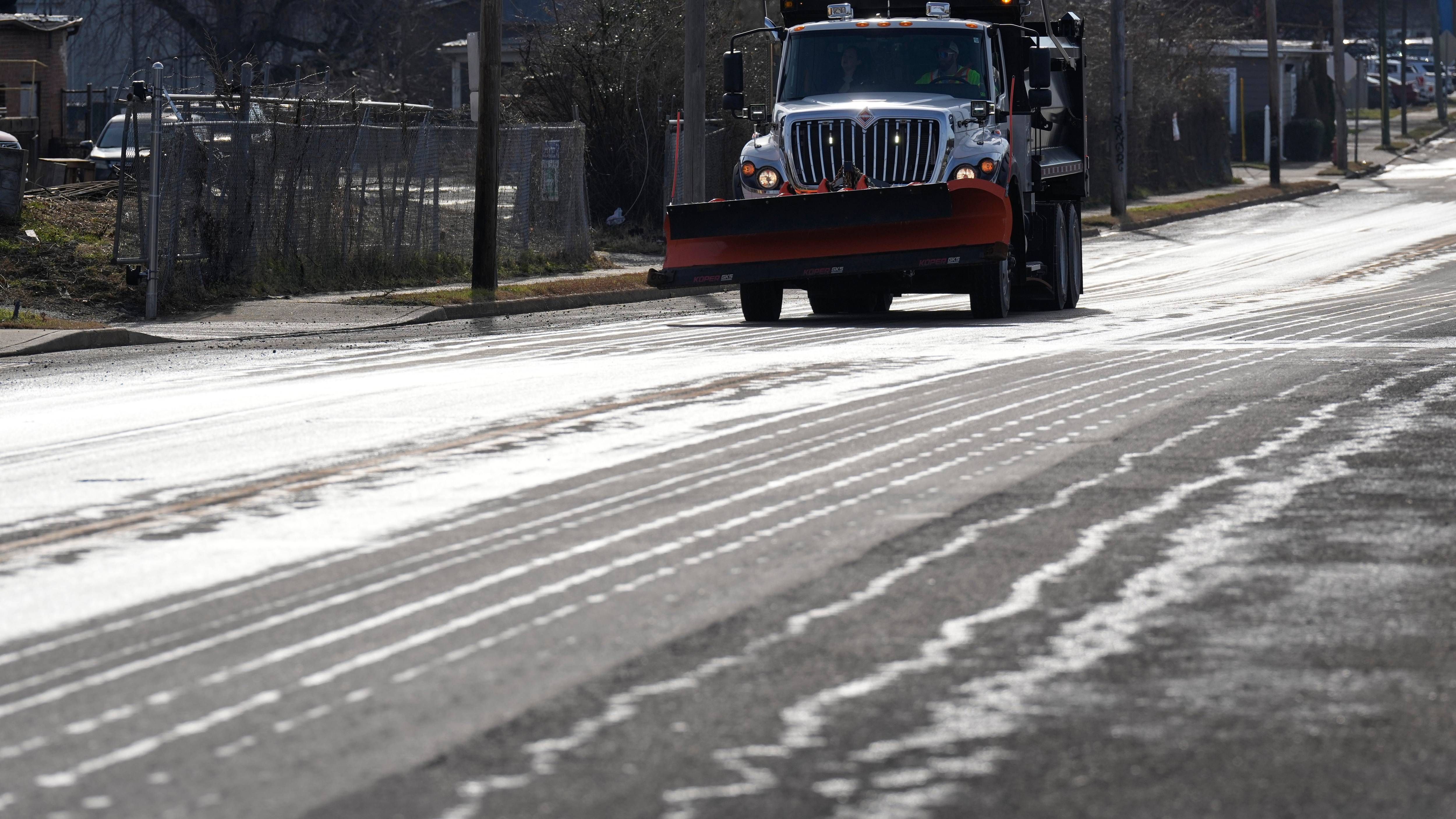
A dangerously cold air mass arrives Friday in the upper Midwest and upstate New York and will plunge temperatures into the single digits through the weekend with sub-zero wind chills commonplace across the region through the period.
As the cold takes hold, lake effect snow will begin to diminish across Western New York.
"We'll have another inch or two off the lake, but that's really going to be about it," National Weather Service meteorologist Jim Mitchell tells WBEN. "We're about done here as far as the lake effect for today."
In the wake of the snow, frigid air will become the main theme for the start of the weekend.
"Temperatures...they're goin to fall through the single digits today," Mitchell warns. "The winds will remain gusty, with gusts up to 35, 40 mph, so that will send our wind chills well below zero as we head through the afternoon."
A Cold Weather Advisory is posted for Friday into Saturday, with wind chills as cold as minus 20 possible.
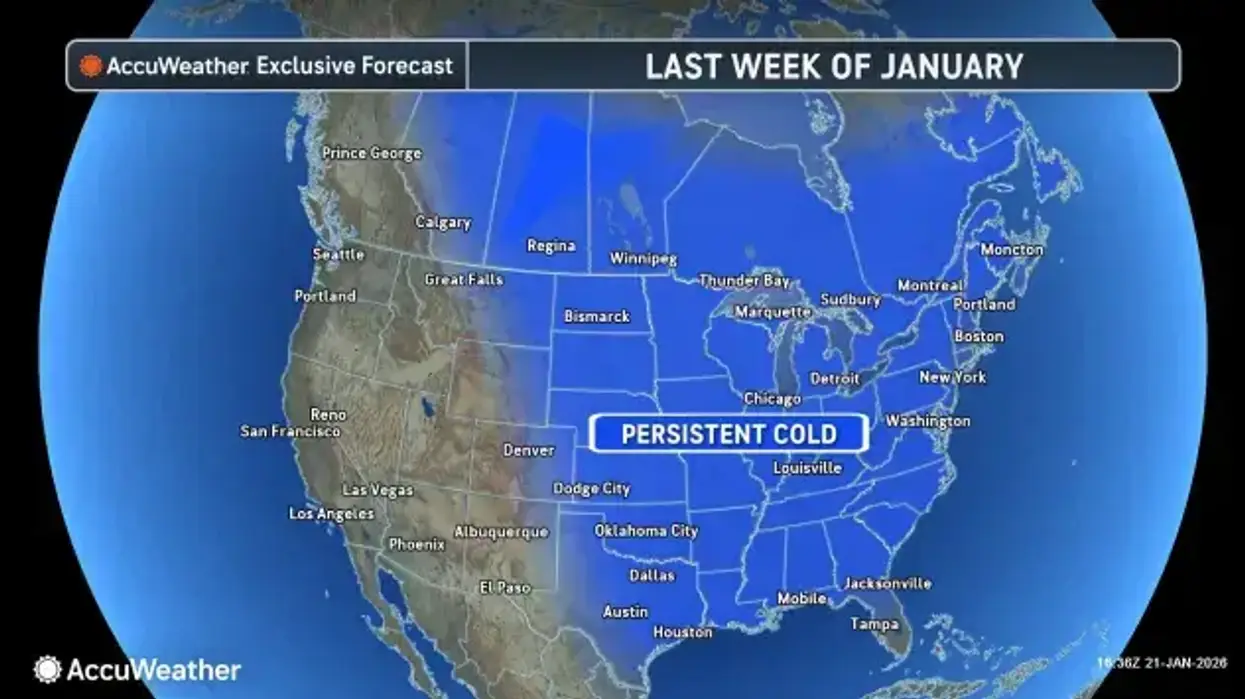
As the cold gets its grip on the region for the weekend, meteorologists eyes are on a large storm that will impact our weather Sunday and into Monday as well.
A Winter Storm Watch is posted area-wide in upstate New York late Saturday into Monday. Ice is expected in the Southern states, and north Texas, and dangerous cold in Chicago, Detroit and New York City.
"A large winter storm is going to impact quite a bit of the country," Mitchell says. "Looks like we'll have some snow developing here late Saturday night into Sunday morning, and then that will intensify through the day, lasting through the day on Monday. The heaviest snow will fall Sunday night through Monday morning."
How much snow will accumulate from the large storm system approaching? There remains some question about that, but Mitchell does caution, "It looks like a significant snowfall, but exactly how much...we're still not pinning that down at this moment."
The snow from this storm will be widespread, impacting ALL of Western New York, and the snow will be 'heavier' than the fluffy-light lake effect snow that has plagued the region this week.
Lake Erie Ice Cover
There is a direct correlation between the amount of ice cover on Lake Erie and the potential for lake effect snow across the region. That ice cover has grown substantially this week, given the cold conditions.
"It was about 85% ice coverage at this point," Mitchell says. "But a lot of that ice offshore is very slushy and thin, so it's not impacting the response off the lake too much at this point." So, lake effect is still a possibility.
"But with these temperatures we've been talking about, and the winds are also going to die down as we go through tomorrow night into the weekend, that should allow the lake to solidly freeze up 100%...so that's really going to curb the lake effect."
WARNINGS
* WHAT...Bitterly cold wind chills as low as 20 to 25 below zero expected.
* WHERE...Southern Erie and Wyoming counties and the western Southern Tier.
* WHEN...From 10 AM this morning to 10 AM EST Saturday.
* IMPACTS...Bitterly cold wind chills as low as 25 below zero will cause frostbite on exposed skin in as little as 30 minutes.
Frostbite and hypothermia will occur if unprotected skin is exposed to these temperatures.
PRECAUTIONARY/PREPAREDNESS ACTIONS...
This is a potentially hazardous situation to be outdoors. If you must be outside, be sure to cover all exposed skin. Frostbite can occur in 30 minutes or less with apparent temperatures of 15 below zero or colder.
Use caution while traveling outside. Wear appropriate clothing, a hat, and gloves.
Make frequent checks on older family, friends, and neighbors. Ensure portable heaters are used correctly. Do not use generators or grills inside.