Cold, cold, cold in the morning. WWLTV’s Meteorologist Dave Nussbaum says temperatures this morning will be in the 30s and 40s across SE Louisiana. He says the clouds will clear out and the skies will be gorgeous today, with temperatures in the upper 50s. This evening will remain chilly with temperatures falling back down to the 40s by parade time.
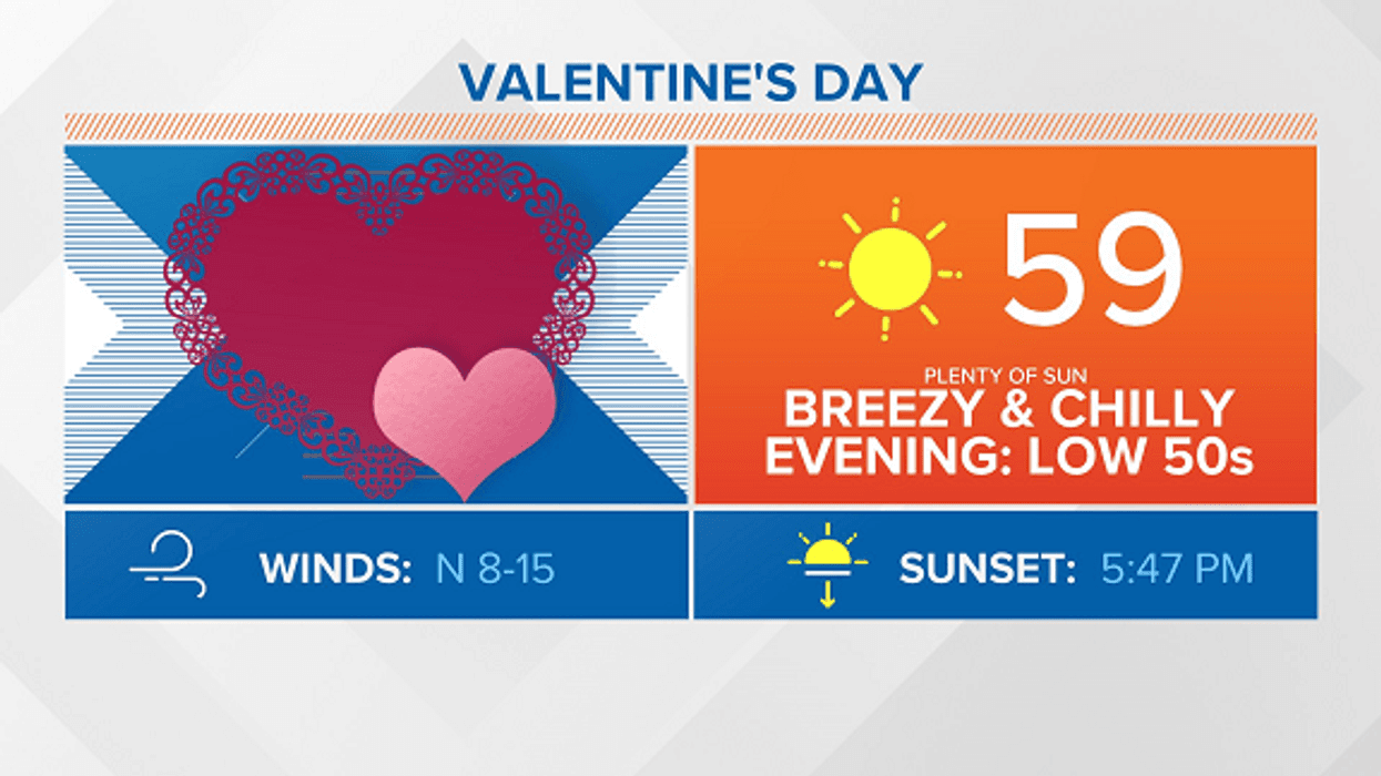
Happy #ValentinesDay! It will be a sunny and chilly day with high temperatures in the upper 50s. It will in the lower 50s this evening if you are going out on a date night. #BeOn4 @WWLTV pic.twitter.com/jiJTb5nEcl
— Dave Nussbaum WWL-TV (@Dave_Nussbaum) February 14, 2020
Here is your detailed forecast:
TODAY:Sunny, breezy and chilly. Highs: 59. Wind NE 8-15 mph.
TONIGHT:Clear and cold with frost across the Northshore - protect plants! Lows north: 36 and south: 45. Wind E 5-10 mph.
SATURDAY:Mostly sunny and warmer. Highs: 66. Wind SE 6-12 mph.
SUNDAY:Mostly cloudy and warmer with a 40% chance for showers. Lows north: 50 and south: 56. Highs: 68.
MONDAY:Mostly cloudy, breezy and warmer with a 30% chance for showers and storms. Lows north: 55 and south: 59. Highs: 76.
TUESDAY:Mostly cloudy, breezy, warm and humid with a 30% chance for showers and storms. Lows north: 64 and south: 66. Highs: 80.
WEDNESDAY:Mostly cloudy, breezy and turning cooler with a 30% chance for showers. Lows north: 63 and south: 64. Highs: 64.
THURSDAY:Mostly cloudy, breezy and colder with a 40% chance for showers. Lows north: 45 and south: 50. Highs: 56.