


More heavy rain for your Wednesday so keep that umbrella ready.
WWL-TV’s Meteorologist Dave Nussbaum says, “Some heavy rain will be possible due to all of the moisture in the air, so watch out for street flooding. High temperatures will be in the mid-80s. Tonight will become dry and muggy with lows in the 60s north and 70s south.”
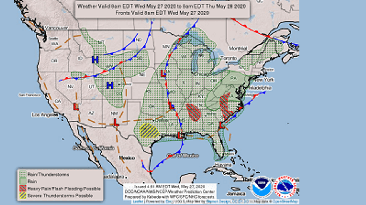
Here is a look at the 7 Day Forecast for the New Orleans area: WWLTV #lawx pic.twitter.com/BsXltqQCRX
— Dave Nussbaum (@Dave_Nussbaum) May 27, 2020Here is your detailed forecast:
TODAY: Mostly cloudy, warm and humid with a 60% chance for heavy rain and storms. Highs: 86. Wind W 5-10 mph.
TONIGHT: Partly cloudy and muggy. Lows north: 68 and south: 73. Wind SW 3-5 mph.
THURSDAY: Partly cloudy, hot and humid with a 20% chance for showers and storms. Some downpours. Highs: 90. Wind NE/SE 5-10 mph.
FRIDAY: Sun/cloud mix, hot and humid with a 30% chance for showers and storms. Some downpours. Lows north: 69 and south: 74. Highs: 88.
SATURDAY: Partly cloudy, hot and humid with a 20% chance for showers and storms. Some downpours. Lows north: 69 and south: 73. Highs: 90.
SUNDAY: Partly cloudy, hot and less humid with a 10% chance for a shower. Lows north: 67 and south: 73. Highs: 91.
MONDAY: Partly cloudy, hot and less humid with a 10% chance for a shower. Lows north: 67 and south: 73. Highs: 92.
TUESDAY: Partly cloudy, hot and less humid with a 10% chance for a shower. Lows north: 68 and south: 74. Highs: 92.


