A cold front brings more scattered storms for your Friday.
WWL-TV’s Dave Nussbaum says, “The upper-level low will finally start to move east today across Mississippi, Alabama and into Tennessee. A weak cold front will move into the area today. This will set off scattered showers and storms across SE Louisiana. Some heavy rain is still possible since the humidity remains high. It will be hot this afternoon with highs in the upper 80s. The cold front will continue to move through tonight, so we will have lingering showers and storms mainly along the coast. Lows will be in the 60s north and 70s south.”
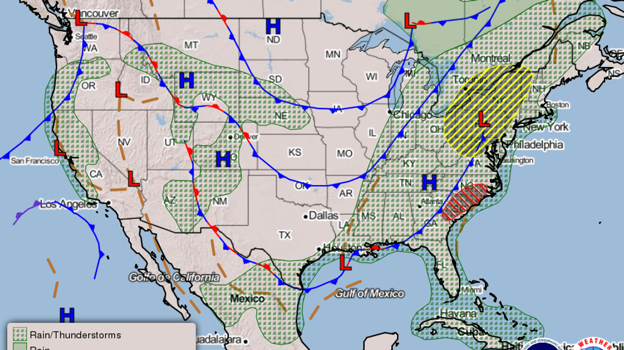
Here is a look at the 7 Day Forecast for the New Orleans area: WWLTV #lawx pic.twitter.com/jw7ayeU3Vb
— Dave Nussbaum (@Dave_Nussbaum) May 29, 2020Here is your detailed forecast:
TODAY: Mostly cloudy, hot and humid with a 40% chance for showers and storms. Some downpours. Highs: 88. Wind N 5-10 mph.
TONIGHT: Partly cloudy and muggy with a 20% chance for showers. Lows north: 68 and south: 75. Wind N 3-7 mph.
SATURDAY: Partly cloudy, hot and humid with a 20% chance for showers and storms. Some downpours. Highs: 90. Wind NE 5-10 mph.
SUNDAY: Sunny, hot and less humid. Lows north: 67 and south: 73. Highs: 91.
MONDAY: Mostly sunny, hot and less humid. Lows north: 66 and south: 71. Highs: 92.
TUESDAY: Partly cloudy, hot and more humid. Lows north: 67 and south: 72. Highs: 93.
WEDNESDAY: Partly cloudy, hot and humid with a 20% chance for showers and storms. Lows north: 70 and south: 74. Highs: 92.
THURSDAY: Partly cloudy, hot and humid with a 30% chance for showers and storms. Lows north: 72 and south: 75. Highs: 92.