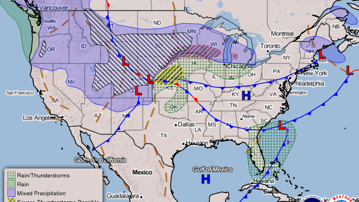
While a blizzard is forecast from the northern Rockies to the northern Plains, here in Southeast Louisiana we are looking at near record high temps making it feel like summer today.
"High pressure will sit over us today and that will provide us with plenty of sunshine and low humidity. It will be unseasonably warm with near record highs in the mid 80s," WWL-TV Meteorologist Dave Nussbaum explained. "The record is 88° set back in 1963."
He says look for similar conditions tomorrow.
"More pleasant and warm weather is expected on Thursday with highs in the mid 80s again."
Clouds return just as we kick off the weekend.
"Our weather starts to change on Friday as a weak cold front moves into the area. It will bring us mostly cloudy skies with isolated showers or storms. We will become more humid with highs in the lower 80s."
Rain chances Friday are about 20%.
Weekend Forecast:
- We will need to plan for some rain this weekend, but it will not be a washout. On Saturday, the cold front will drift back north as a warm front into central Mississippi. We will be south of it, so it will be warm, humid and windy with only spotty showers and storms. A few storms could be strong late in the day. High temperatures will be in the lower 80s. Another cold front will move through Saturday Night into Sunday Morning. Expect a line of storms with it and they could be strong to possibly severe with gusty winds, hail and possibly a tornado or two. Some heavy rain is possible and we could receive 1-2" that may lead to minor street flooding.
- The rain and storms will end by Noon on Sunday as the cold front passes through. Expect partly cloudy skies, lower humidity levels and windy conditions Sunday Afternoon with cooler high temperatures in the upper 70s. More pleasant weather is expected early next week.
Here is a look at the 7 Day Forecast for the New Orleans area: WWLTV #lawx pic.twitter.com/chTba0Fn97
— Dave Nussbaum WWL-TV (@Dave_Nussbaum) April 10, 2019DETAILED FORECAST...
TODAY:Sunny and warm. Highs around 86. Wind S 5-10 mph.
TONIGHT:Clear and cool. Lows around 65. Wind S 5-10 mph.
THURSDAY:Mostly sunny, breezy and warm. Highs around 84. Wind S 10-20 mph.
FRIDAY:Mostly cloudy and warm with a 20% chance for showers or storms. Lows around 67. Highs around 83.
SATURDAY:Sun/cloud mix, windy, warm and humid with a 30% chance for spotty showers and thunderstorms. A few could be strong late. Lows around 68. Highs around 83.
SUNDAY:Mostly cloudy, windy and warm with a 60% chance for showers and thunderstorms in the morning. Some could be strong to severe. Lows around 69. Highs around 77.
MONDAY:Clear, breezy and mild. Lows north around 51 and south around 56. Highs around 75.
TUESDAY:Mostly sunny and mild. Lows north around 55 and south around 60. Highs around 79.