
Fog this morning socked in parts of Southeast Louisiana, but others had no viability problems.
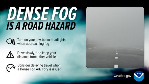
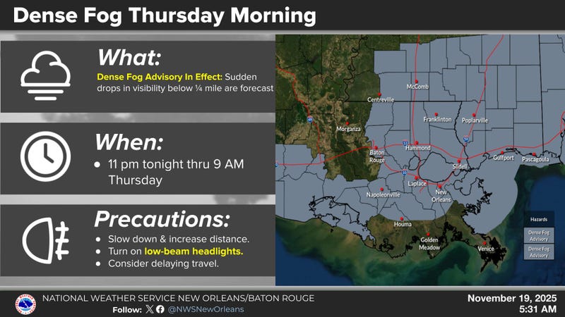
"A dense fog advisory is in effect." WWL TV Meteorologist Payton Malone advised. "The fog will begin to lift between 8:00am and 10:00am."
Listeners told WWL FIrst News that the fog was particularly dense west of the city.
Here is what they were texting to 504-260-1870:
"I 55 is worse than yesterday."
"I 310 S. to 3127 traffic stopped on bridge can't see a thing."
"I-310 North At I-10 East VERY BAD."
"Even worse than yesterday."
"Foggy from Hammond to Baton Rouge on I 12 westbound."
Causeway Police were convoying traffic across the bridge.
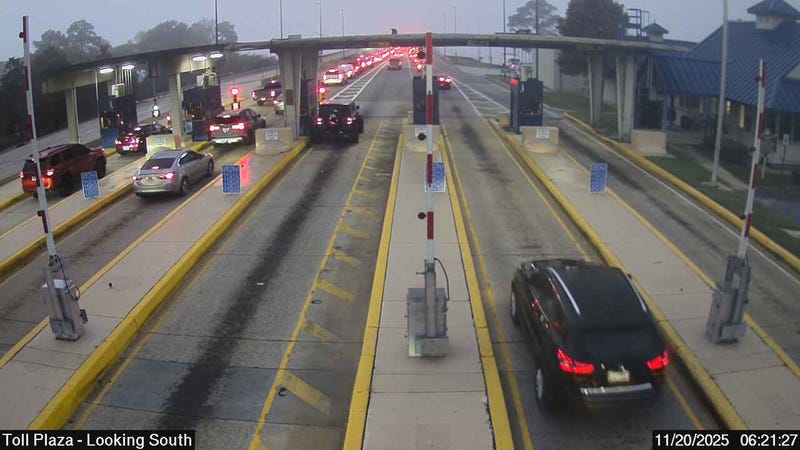
Visibility at the airport dropped to 1/8 of a mile.
Malone says rain and wind could replace the fog for Friday morning.
"Tonight does not look as foggy thanks to a steady breeze, more cloud cover and a few showers. Rain chances are around 40 percent Friday with a random thunderstorm possible."
Detailed Forecast:
TODAY:
AM Fog. Partly sunny. Warm, humid. High: 80. Winds: S 5-10.
FRIDAY:
40% scattered showers, few storms. Breezy. Low: S 66, N 62. High: 83.
SATURDAY:
Partly sunny. Stray shower. Low: S 66, N 62. High: 83.
SUNDAY:
Partly cloudy. Still warm. Low: S 65, N 58. High: 79.
MONDAY:
Sun to partly cloudy. Breezy. Low: S 63, N 57. High: 80.
TUESDAY:
Mostly cloudy. 40-50% scattered showers and storms. Breezy. Low: S 63, N 58. High: 78.
WEDNESDAY:
Mostly cloudy. 30% spotty showers. Low: S 60, N 54. High: 75.