


Southeast Louisiana will see some big changes in the weather over a couple of days.
WWL TV Meteorologist Alexandra Cranford forecasts, "Southerly winds will bring a big warm-up on this Wednesday along with more clouds."
After a high of 79 today, a cold front heads for the region.
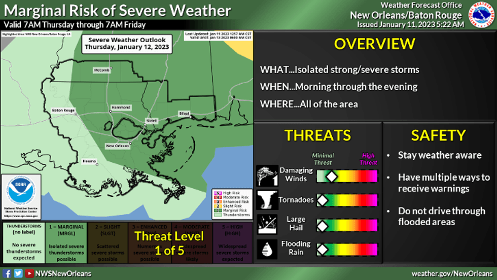
"Showers and a few thunderstorms will quickly move on Thursday with an approaching cold front. Timing of the rain looks like late morning."
 NWS
NWS
Cranford says by early afternoon, the rain is gone.
"Rain totals look like about a half-inch or less."
She says behind the rain we'll get a swift drop in temperatures and increased wind during the late afternoon and evening.
The forecast calls for a colder weekend.
"Friday starts clear, breezy and much cooler in the upper 30s and 40s. Saturday morning looks like the coldest with a light freeze north of the lake and lower 40s south of the lake. Saturday will be chilly with lots of sun."
Detailed Forecast:
TODAY:
Increasing clouds. Warmer and more humid. Becoming breezy. Stray shower. High: 79. Winds: S 8-15.
THURSDAY:
70-80% showers and a few storms from mid-morning until mid-afternoon. Breezy. Low: S 66, N 63. High: 74, Falling temps late.
FRIDAY:
Chilly. Sunny and breezy. Low: S 48, N 39. High: 56.
SATRUDAY:
Light freeze north. Sunny, chilly. Low: S 41, N 33. High: 54.
SUNDAY:
Chilly morning, pleasant afternoon. Mostly sunny. Becoming breezy. Low: S 42, N 35. High: 64.
MONDAY:
Partly to mostly cloudy. 30% chance of spotty showers. Warmer, breezy. Low: S 57, N 52. High: 71.
TUESDAY:
Mostly cloudy. 30% chance of spotty showers. Warm, breezy. Low: S 63, N 59. High: 73.


