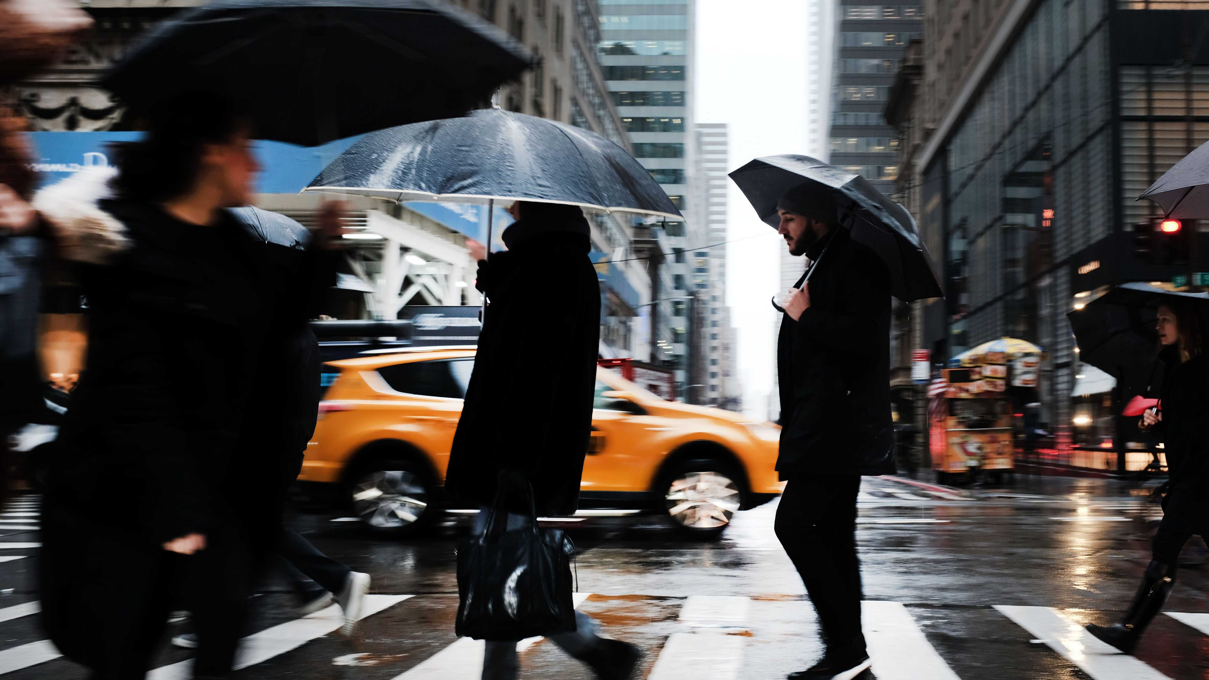
NEW YORK (1010 WINS) -- A coating to an inch of snow is possible in New York City on Monday as the first winter storm of 2022 rolls through the Tri-State—and another potential round of snow may hit Thursday into Friday.
No significant snow amounts fell in the city Monday morning, though some flurries may continue to pop up in the five boroughs and nearby suburbs through the afternoon, according to AccuWeather.
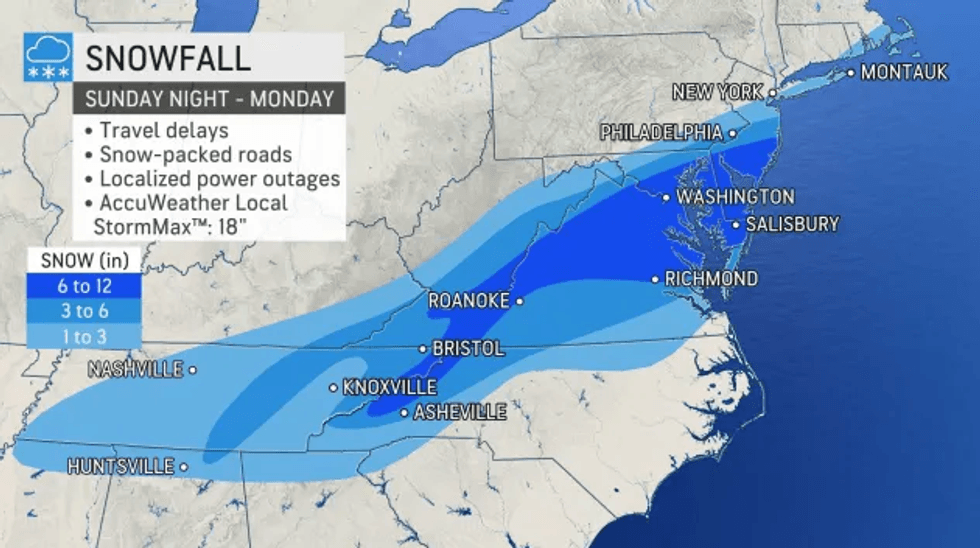
The highest snow amounts were forecast for eastern Long Island and the Jersey Shore, where 1 to 3 inches is possible into the evening.
 AccuWeather
 AccuWeather
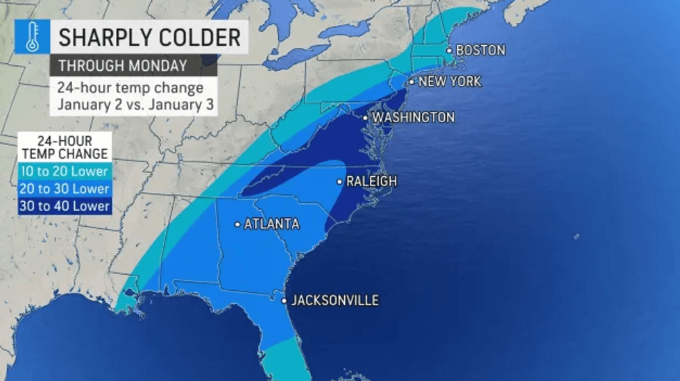
Temps were in the low 30s and high 20s in the city on Monday afternoon, with RealFeel temps plummeting to the teens.
Gov. Phil Murphy declared a state of emergency for New Jersey's Atlantic, Burlington, Cape May, Cumberland and Ocean counties in preparation for the storm.
New York City issued a travel advisory to urge New Yorkers to utilize mass transit when possible and allow extra time when commuting.
After the snowy weather moves out later Monday, it will be breezy and cold overnight with a low of 23 in the city and highs in the teens in the suburbs.
Tuesday is partly sunny with a high of 36, while Wednesday is mostly cloudy with a chance of showers and a high of 46.
Another winter storm could move in Thursday night into Friday, with the potential to bring a mix of snow and rain, though the track may change over the coming days.