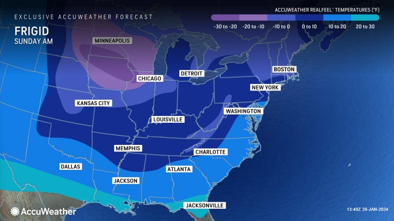

NEW YORK (1010 WINS/WCBS 880) — The winter blast slamming much of the U.S. this week continues to affect the NYC area with low temperatures that are expected to persist through the weekend.
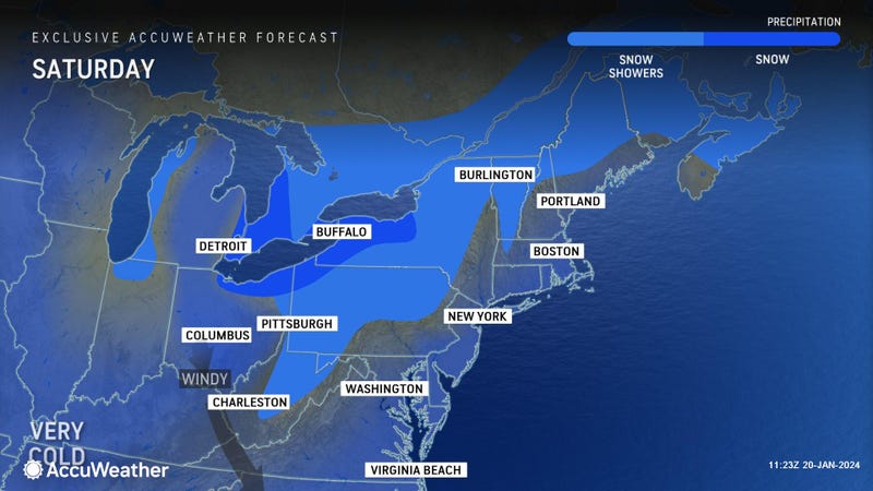
According to AccuWeather, Saturday will be partly cloudy, blustery and very cold. A low of 18 is expected, with RealFeel temperatures dropping near zero by day break.
New York City Emergency Management warned residents that “sub-freezing temperatures will persist until Monday,” while quoting a post that includes maps of Saturday’s wind chill from the National Weather Service New York NY.
“If you are dressing warm now, dress even warmer if you are going out tonight and cover exposed skin,” the NWS said.
In explanation of what gave the Arctic freeze its name, the NWS also provided a map showing where the frigid airmass originated — northern Canada (in the Arctic).
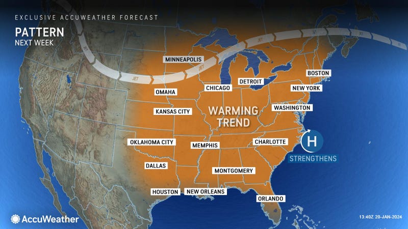
The cold was there over a week ago, and will stick around the U.S. until warmer air is ushered in by next week’s system.
But before the alleviation, Sunday will remain brisk and cold, though less harsh than Saturday. The high will hit 31, with RealFeels in the teens in the afternoon, AccuWeather said.
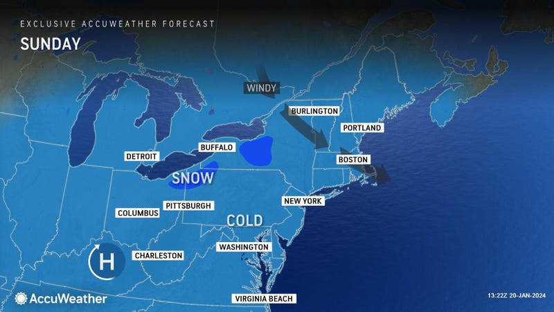
It will be clearer on Sunday night with less wind, and lows will range from the middle teens in the suburbs to 24 in the city.
Monday will start the temperature climb with a high of 39, and AccuWeather’s forecast says it will be partly sunny.
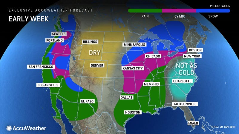
A cloudy Tuesday will bring the relief of a mild day, though a little rain or mixed precipitation is possible north and west of the city in the afternoon.
Wednesday will bump the high up one notch to 44, and forecasters expect a cloudy day with periods of rain or drizzle.