


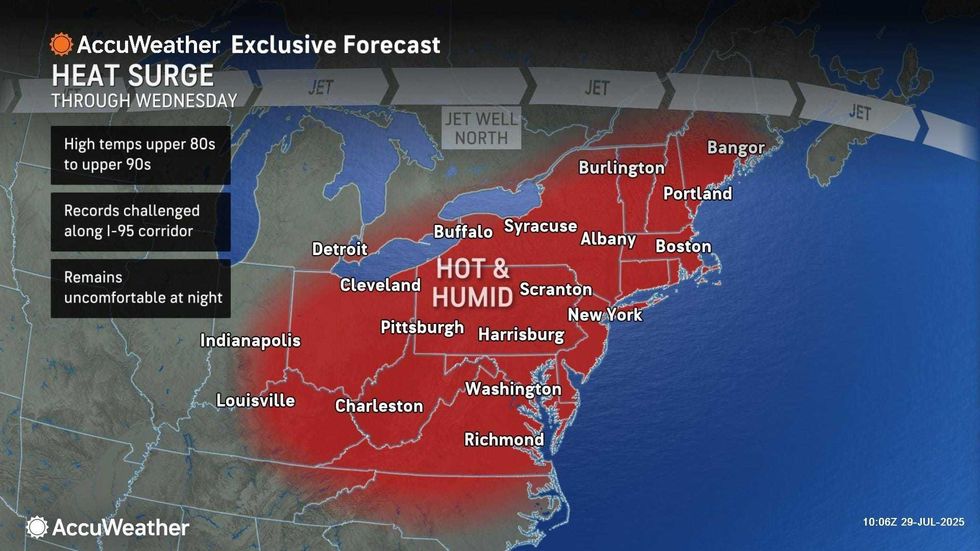
NEW YORK (1010 WINS) – A Heat Advisory was issued for NYC until Wednesday night as the city sizzles through another summer heat wave, with a record high possible on Tuesday.
In addition to the Heat Advisory—which covers the entire Tri-State area until 8 p.m. Wednesday—there is also an Air Quality Alert for the five boroughs and the surrounding suburbs until 11 p.m. Tuesday. Ground Level Ozone may approach or exceed unhealthy levels, the National Weather Service said.
Monday's high was 94 in Central Park, but it felt hotter than 100 with the blazing sun and humidity. It will be more of the same Tuesday and Wednesday.
 AccuWeather
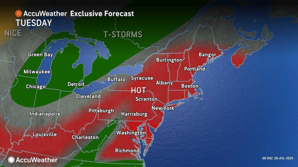
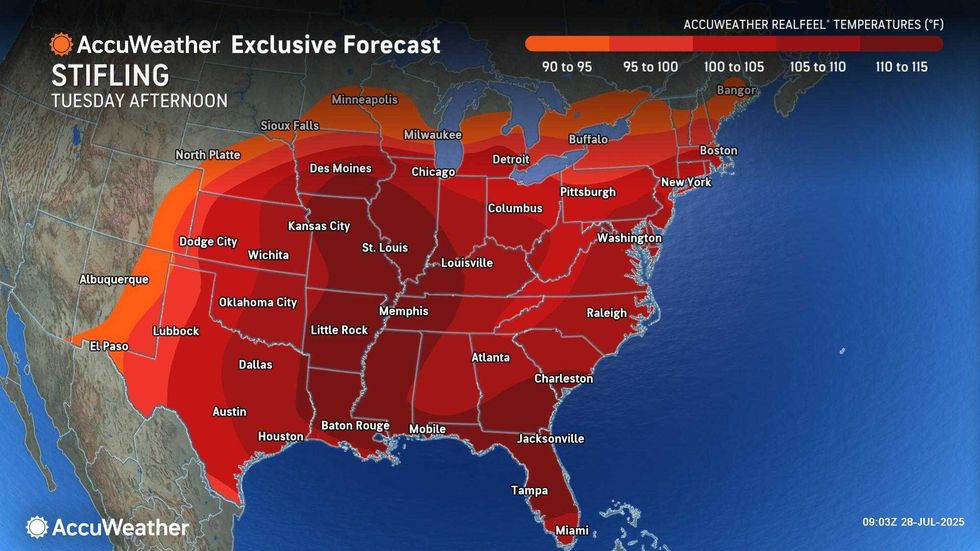
Tuesday is set to be the hottest day this week, with a high of 98 and RealFeel temps around 103. The high will approach the record of 99 degrees, set 76 years ago on July 29, 1949.
Wednesday will be another scorcher, as temps surge to around 94 in the region amid very humid conditions that will push RealFeels towards 100.
To find options to cool down, including the location of cooling centers, head to nyc.gov/beattheheat or call 311.
 AccuWeather
 AccuWeather
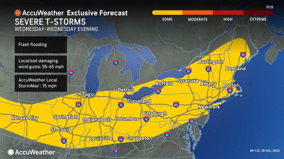
Looking ahead, gusty thunderstorms are forecasted to push through the Tri-State area late Wednesday, especially north of the city. The stormy weather will usher in cooler temps for Thursday and Friday, when highs will be in 84 and 74, respectively.
Storms with flooding downpours are also possible Thursday afternoon and evening before conditions dry out and the humidity drops for Friday.
 AccuWeather


