NEW YORK (1010 WINS) -- A nor'easter is expected to pound the New York City area later this weekend and into early next week, with flooding rains and damaging winds possible as the system moves up the East Coast.
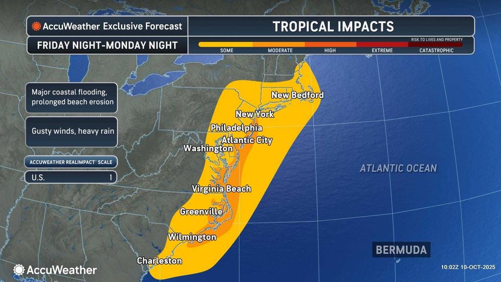
The National Weather Service issued a Coastal Flood Watch from Sunday morning through Monday afternoon in anticipation of the major coastal storm. There's also a High Wind Watch up for parts of NYC, Long Island and the Jersey Shore most of the day Sunday.
New Jersey's acting governor, Tahesha Way, declared a state of emergency starting Saturday night in anticipation of the storm, saying parts of the state may experience major coastal flooding and up to 5 inches of rain.
Gov. Kathy Hochul said a swath of the state may be impacted, warning "major flooding" was possible across the South Shore of the Island and that rainfall could be "intense" all the way up to the Hudson Valley.
 AccuWeather
 AccuWeather
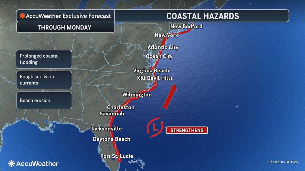
The storm was forming off coastal Florida on Friday and set to move northward, gaining intensity as it goes.
According to AccuWeather, there's a potential for significant coastal flooding, flash flooding, beach erosion and wind damage during the height of the storm on Sunday.
 AccuWeather
The storm will move in just as autumn weather begins to settle over the NYC metro area, with highs in the low-to-mid 60s anticipated for the days ahead. While Friday is sunny and cool, it will become increasingly cloudy overnight into Saturday, when patchy drizzle will arrive.
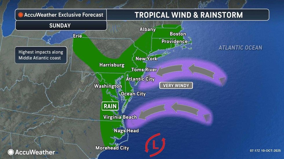
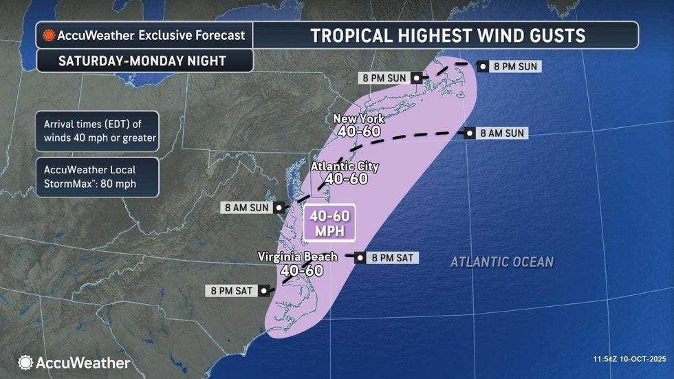
Steady rain will move in late Saturday into Sunday, and it'll become increasingly windy and rainy throughout the day Sunday. The beaches could really take a battering, with 50-60 mph wind gusts possible. While nor'easters are often associated with snow, there will be no snow with this one.
The wind and rain are set to continue into Monday and possibly even Tuesday, depending on the track of the storm.
 AccuWeather