
NEW YORK (1010 WINS) -- The New York City area is under a Heat Advisory, as well as multiple severe weather alerts, on Tuesday—with the heat index topping 100 degrees ahead of storms and downpours set to arrive later in the day.
The Heat Advisory is in effect until 8 p.m., according to the National Weather Service, which warned of dangerous heat and high humidity.
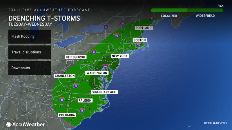
Most of the area is also under a Severe Thunderstorm Watch and a Flood Watch until Tuesday night, with Severe Thunderstorm Warnings also popping up in spots.
Late-day thunderstorms may bring damaging winds and flash flooding, AccuWeather said. Some areas could see 60 mph wind gusts and penny-sized hail, the National Weather Service warned.
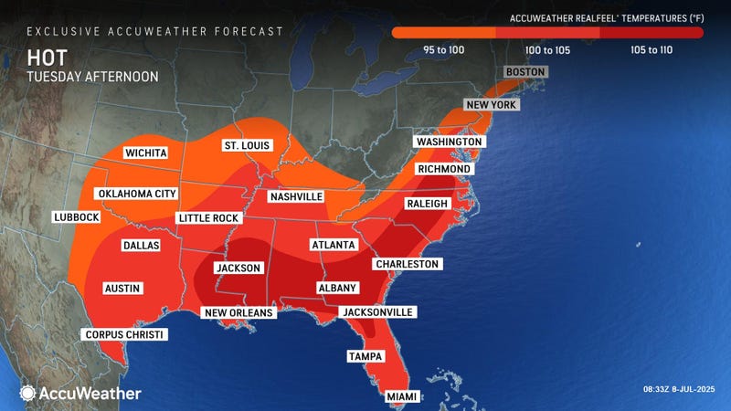
Tuesday will be the hottest day of the week. The high had reached 93 degrees by 2:30 p.m. with a heat index of 103.
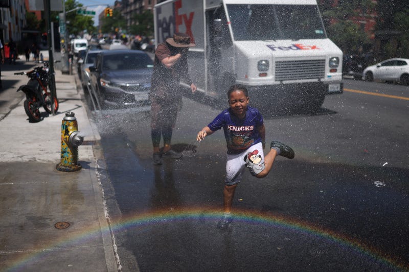
NYC has opened cooling centers to help people beat the heat. Public pool hours have been extended to 8 p.m. More tips for staying cool are here.
Looking ahead to midweek—temps will cool a bit Wednesday, when the high will be about 86. Highs will dip further to 82 on Thursday and Friday.
While the heat will subside, muggy air and the threat of afternoon storms will continue each day through the weekend.