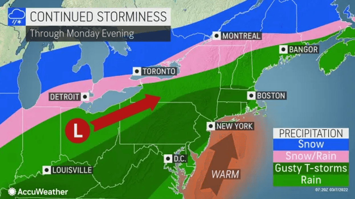
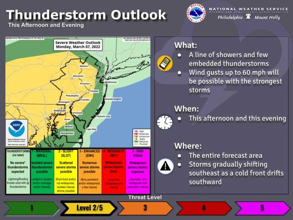
NEW YORK (1010 WINS) -- Powerful thunderstorms rolled through the Tri-State area Monday evening after a day of unseasonably warm weather.
A severe thunderstorm warning was issued for New York City and New Jersey until 10 p.m. Wind gusts could reach 70 mph and hail was also possible.
Officials warned strong winds can cause flying debris, turn unsecured objects into projectiles, and cause power outages.
The city saw near-record high temps on Monday, well above the seasonal average, ahead of the stormy evening.
Central Park reached 74 degrees, tying a previous record set in 1946.
 AccuWeather
 National Weather Service
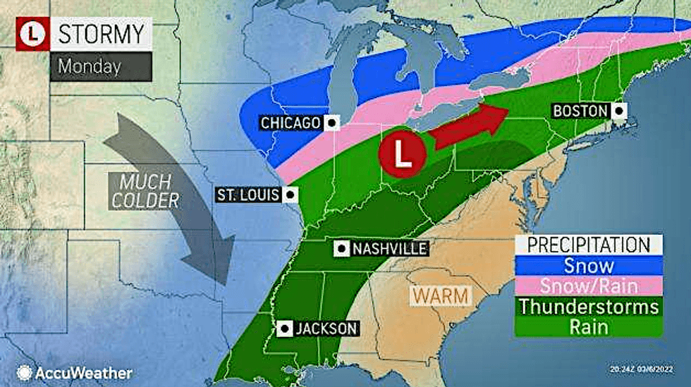
Storms could be locally heavy or severe in spots. Damaging wind gusts are more likely to the west of the city.
A wind advisory has been issued until early Tuesday morning for portions of northeast New Jersey, southern Connecticut and southeast New York, where gusts may reach 50 mph as a cold front moves through.
 AccuWeather
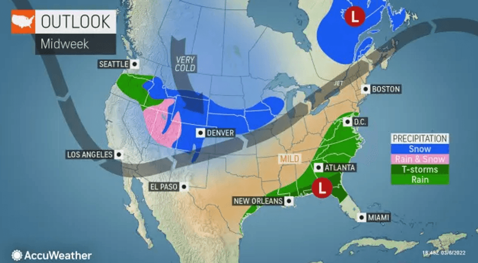
Conditions clear out overnight Monday, when lows will dip to about 40 in the city.
Tuesday is breezy and cooler with a high of 49.
Highs hover in the mid-to-upper 40s on Wednesday and Thursday under partly cloudy skies.
Another round of rain is possible Friday, when highs will be in the low 50s.