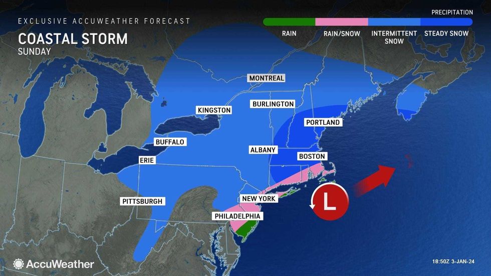
NEW YORK (1010 WINS/WCBS 880) – A storm that's moving across the U.S. this week is expected to sweep up the East Coast late Saturday into Sunday, bringing the potential for significant snowfall in the New York City area.
Indeed, the weekend storm could break the city's record-breaking two-year snow drought. Last season was the least snowy on record, with only 2.3 inches recorded in Central Park.
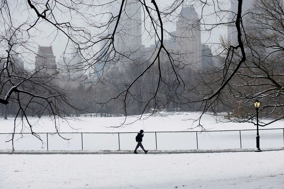 The last time Central Park saw any significant snowfall was on Feb. 27 and Feb. 28, 2023 (pictured). Even then, totals didn't reach 1 inch.Leonardo Munoz/VIEWpress) by Leonardo Munoz/VIEWpress
It's been nearly 690 days since Central Park saw an inch or more of snow. Last winter, two days came just shy of an inch—Feb. 27 and Feb. 28. They were the two snowiest days in what was a very snowless season.
 AccuWeather
 AccuWeather
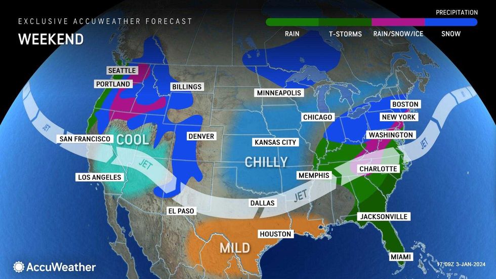
Before the storm, the rest of the work week will be mostly dry with temps getting more and more chilly. Highs will be in the 40s Wednesday and Thursday but down in the upper 30s by Friday. There's a chance for a rain or snow shower on Thursday.
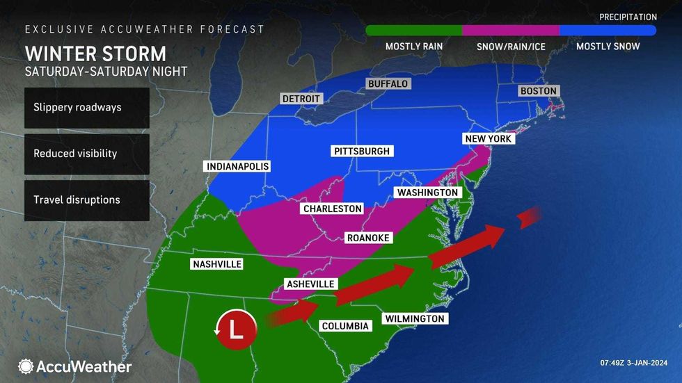
The storm will be at its most intense—and travel at its worst—late Saturday into early Sunday, with conditions improving over the day Sunday. Highs in the city will be 38 degrees both days, with lows around freezing.
Snow totals will be wide-ranging and subject to change depending on the track and speed of the storm, which was over California on Wednesday. A better picture of the storm should take shape Friday as the system gathers steam in the Southeast before shooting up the Atlantic Seaboard over the weekend.
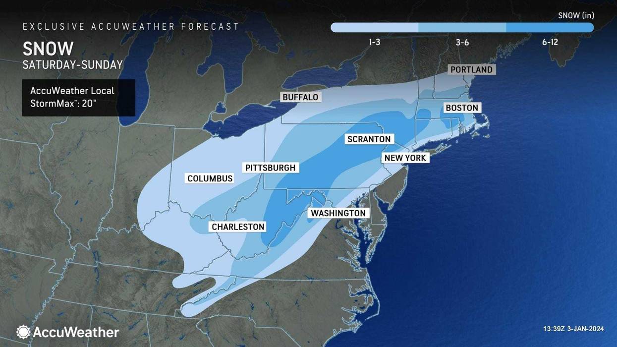
New York City is currently expected to get 1 to 3 inches of snow, according to AccuWeather.
Long Island and communities along the coast will likely see a changeover to rain and thus little to no snow accumulation.
 AccuWeather
The current forecast shows the biggest impacts north and west of the I-287 corridor. The nearby New Jersey and Hudson Valley suburbs could see 3 to 6 inches, while the outlying suburbs at higher, colder elevations may record more than 6 inches of snow.
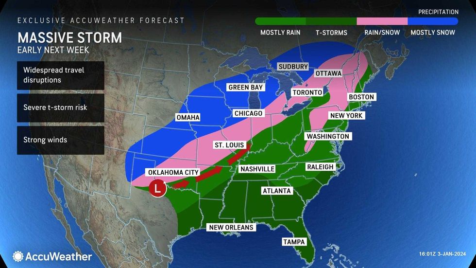
After the storm moves out, Monday will be dry with some sun. But AccuWeather is tracking another major storm on Tuesday that is expected to bring rain to the city.
 AccuWeather