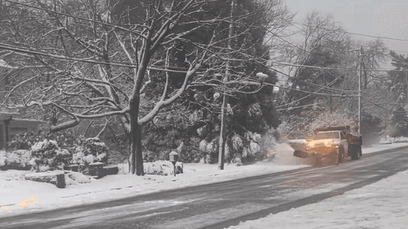
NEW YORK (1010 WINS/WCBS 880) -- A blast of slushy snow, freezing rain and 45 mph wind gusts is in the forecast for the New York City area late Friday as a massive winter storm moves through the Northeast.
Friday morning's sunshine will give way to clouds before the wintry mix arrives in the evening, according to AccuWeather.
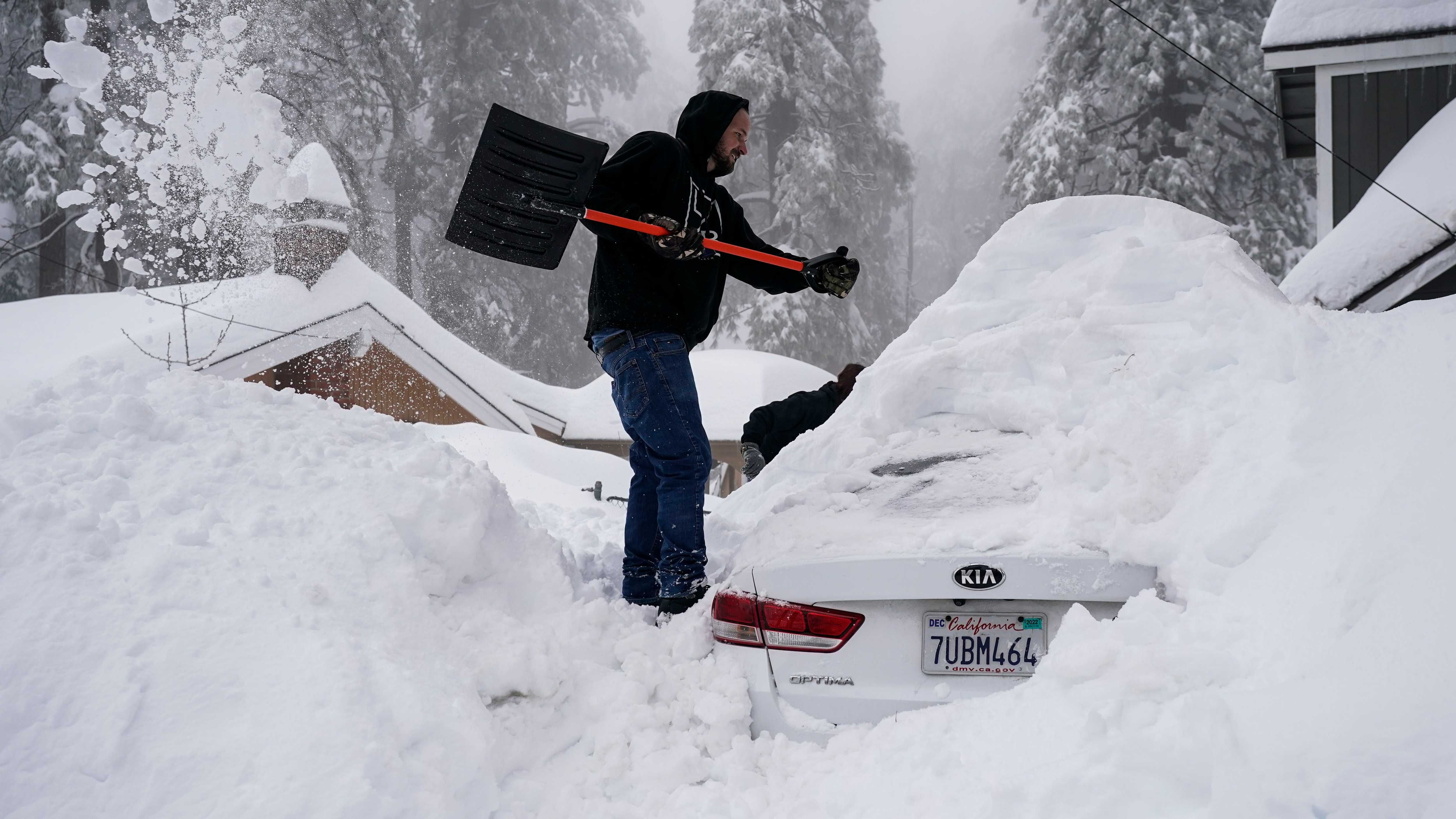
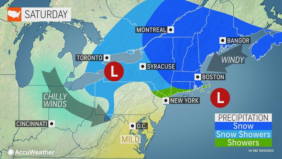
New York City and nearby New Jersey and Long Island suburbs could see a thin slushy coating, mainly on unpaved surfaces, but little accumulation.
 AccuWeather
 AccuWeather
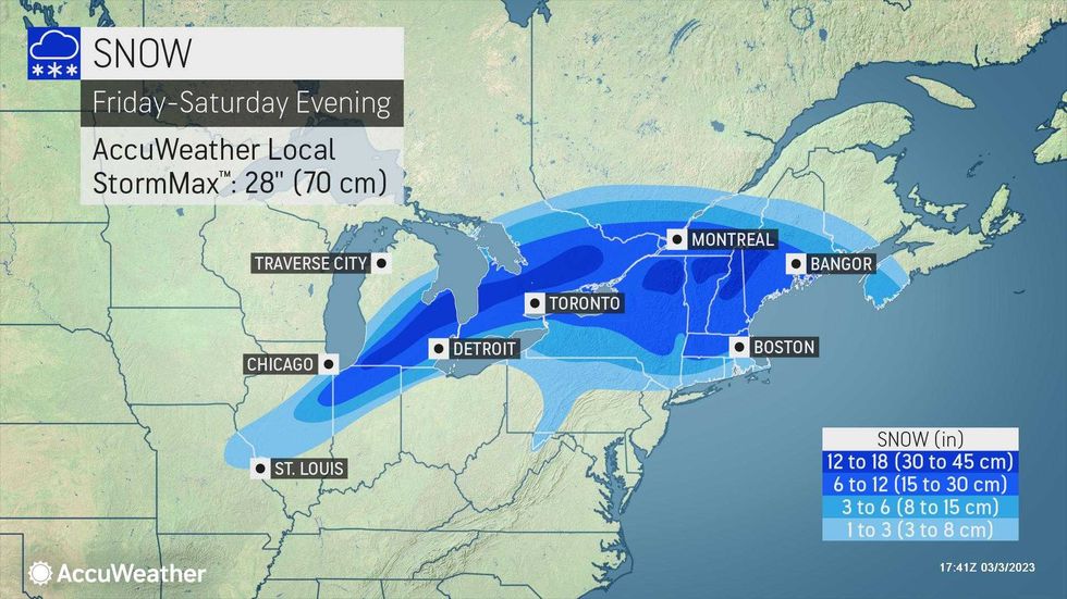
Parts of North Jersey, the Hudson Valley and inland Connecticut may see 1 to 3 inches of snow and sleet.
All areas will change over to rain, with the city and coastal communities changing more quickly.
 AccuWeather
 AccuWeather
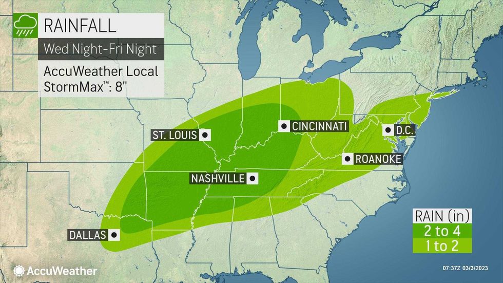
Downpours could be very heavy at times, leading to flooding on streets and sidewalks, as well as along the coast.
A coastal flood advisory is up for parts of the city, while there's a coastal flood watch on Long Island and a coastal flood warning at the Jersey Shore.
 AccuWeather
Friday's high of 45 degrees will fall into the 30s by evening as the wet and windy weather blows through, with gusts up to 45 mph.
Temps rise back into the 40s overnight before the rain tapers off Saturday morning.
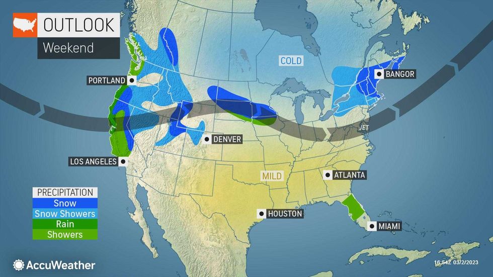
Saturday will be partly cloudy with a high of 46, but RealFeels will stick to the 30s. The weather will turn milder Sunday, with a high near 50.
It's pleasant to start the workweek Monday, with mostly sunny skies and temps in the 50s.
 AccuWeather