


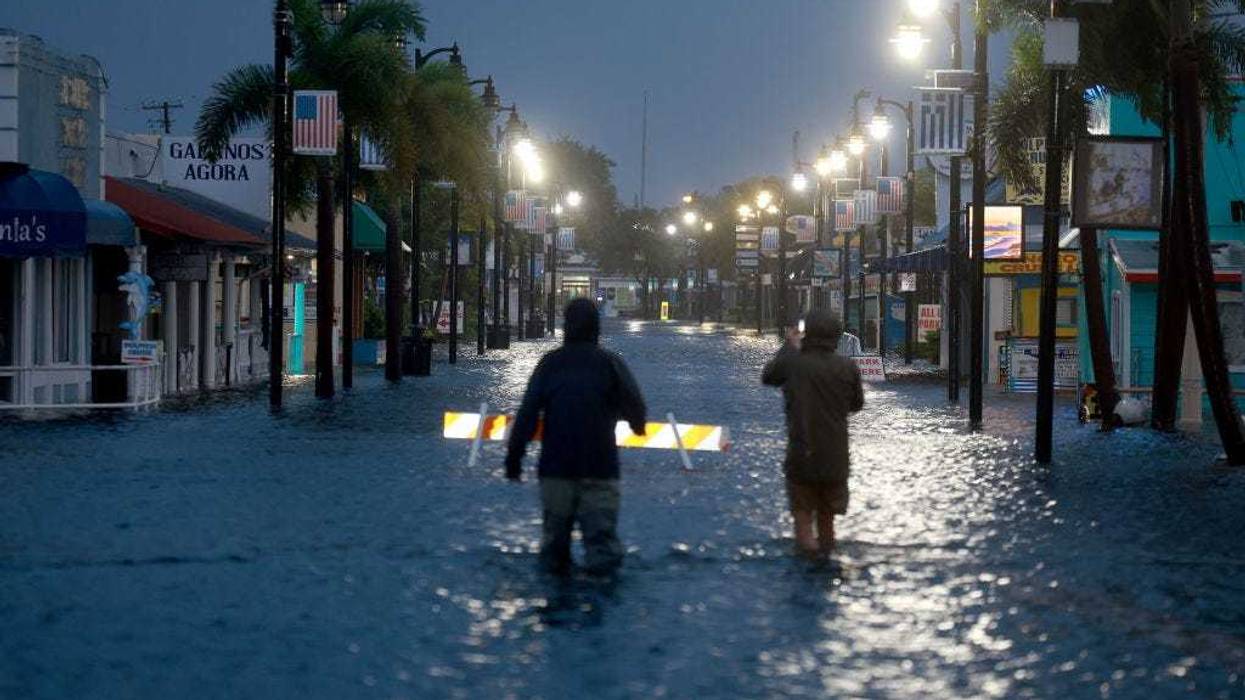
Hurricane Idalia has officially made landfall in Florida, slamming into the state’s Gulf Coast at the strength of a Category 3 hurricane, bringing maximum winds of 125 mph.
The storm hit near Keaton Beach in the Big Bend area, where the state’s panhandle and peninsula meet. The area of the state has not seen high wind speeds like this in 125 years.
“This has the makings of an unprecedented event for this part of the state,” the National Weather Service in Tallahassee said. “There are NO major hurricanes in the historical dataset going back to 1851 that have tracked into Apalachee Bay. None.”
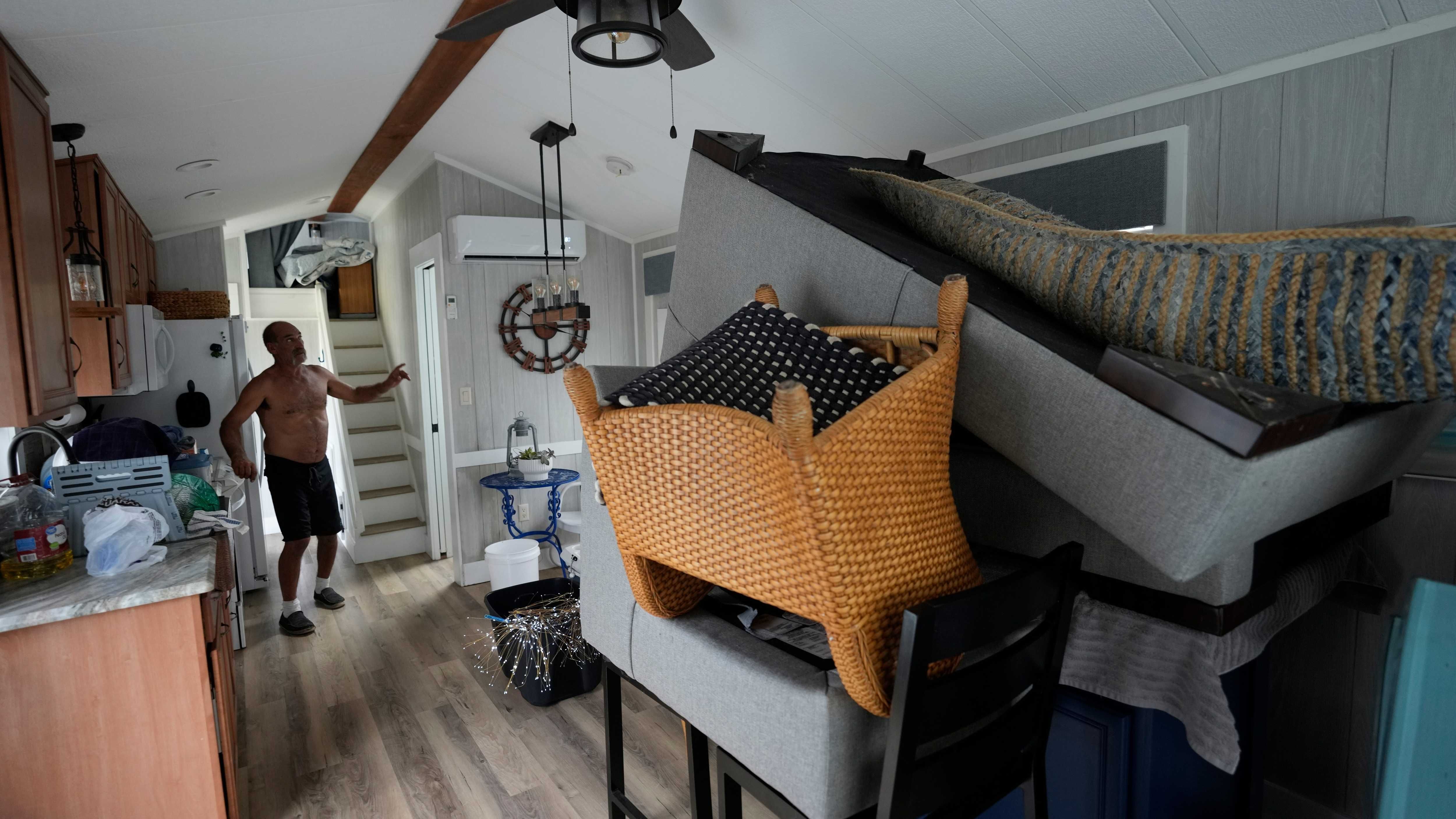
With Idalia comes a dangerous storm surge, heavy amounts of rain, catastrophic winds, and flooding in more areas than just Florida.
Parts of Georgia and South Carolina have told their residents to prepare for the storm as its effects will be felt throughout the region, according to the National Hurricane Center.
The National Hurricane Center shared that residents should flee and that the National Guard is standing by to provide rescue assistance as the “extremely dangerous” storm hit, bringing dangerous winds and a storm surge of up to 16 feet.
The winds carry a heavy threat, and officials are warning residents that it needs to be taken seriously.
“Treat these imminent extreme winds as if a tornado was approaching and move immediately to the safe room in your shelter,” the National Weather Service office of Tallahassee said in a warning. “Take action now to protect your life!”
Tornado watches are in place for almost 12 million residents across central and northern Florida and southeast Georgia until 3 p.m. EST Wednesday.
Florida Gov. Ron DeSantis spoke on Wednesday morning, warning that the storm’s wrath could possibly be felt far outside its predicted path.
DeSantis said 11 tornado warnings have already been issued in places “way outside the cone that you see on your TV screens.”
DeSantis pleaded with residents in the Big Bend region to evacuate on Tuesday night. He shared for those who are staying that first responders won’t be able to get into the area until after the storm passes.
As the storm moves farther onshore, the storm surge is expected to be high enough to push up against the second floor of an average building. It could be the first major hurricane at a Category 3 or stronger to hit the region.