


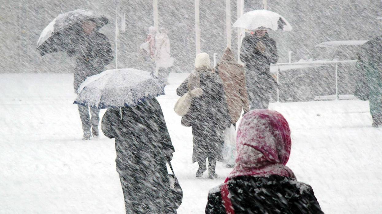
A vast majority of the country is bracing for freezing temperatures near all-time lows as blizzard-type weather will bring dangerous conditions for millions of Americans starting Wednesday.
“We’re looking at much-below normal temperatures, potentially record-low temperatures leading up to the Christmas holiday,” Zack Taylor, a meteorologist with the National Weather Service, said.
The polar air is arriving as a storm system that brought heavy snow last week, winds down in the northeastern part of the country.
The National Weather Services warns that central and southeastern parts of the country will not only see blizzard conditions, but dangerous wind chill temperatures this week due to the arrival of the storm system.
“A surge of Arctic air behind a cold front crossing the US through the week will bring widespread, dangerous wind chill temperatures through much of the central US and a potential flash freeze from the mid-South to the East Coast,” the National Weather Service said in an update Monday night.
Among the states to see freezing temps includes southern Mississippi and southeast Louisiana the storm will bring “extreme and prolonged freezing conditions,” according to the National Weather Service.
Other parts of the south to be affected include the Dallas-Fort Worth area, which will see three days of below freezing temps before the state warms up on Christmas day, NWS data reports.
After last year's power outages, the state says it is ready, but the Electric Reliability Council of Texas said the grid operator expects “sufficient generation to meet forecasted demand.”
The Federal Emergency Management Agency for region 5, which monitors states in the midwest, shared on Twitter that blizzard conditions are “possible” for Illinois, Indiana, Wisconsin, Minnesota, Michigan, and Ohio.
“Visibility will be low, making it difficult to travel in some areas. Power outages are likely,” FEMA shared in a tweet about the region.
But the southern part of the country will also experience below freezing temps, getting as low as 5 degrees in Nashville, Tennessee, the National Weather Service shared.
Atlanta will see thermometers hit 13 degrees on Friday night, with highs of 29 expected during the day on Saturday, the National Weather Service projected.
Cities in northern Florida like Jacksonville and Tallahassee have predicted lows in the 20s on Saturday, with highs up to 40 degrees.
Wyoming is another state expected to see extreme temperatures, getting as low as -70 degrees with the windchill in parts of the state.
Winds in the midwest will play a massive part in dropping temperatures, as they could possibly reach up to 50 miles per hour in some states like Minnesota.
This will also play a major part in conditions as the midwest is expecting to get a hefty dumping of snow Wednesday before the dropping temperatures on Thursday.
“Wednesday, [Minnesota’s] going to get a round of snow that will last into early Thursday, and we could have several inches of accumulation with that, maybe as much as 4 to 8 [inches] during that period,” National Weather Service Meteorologist Bill Borgoff said.
Before the storms have arrived, 33 million people are under winter storm watches, while another 27 million are under wind chill alerts ahead of the arctic outbreak.
In the lower 48 states, 270 million people will see temperatures at 32 degrees or lower throughout the next seven days, Weatherbell.com reported. On top of that, 55 million will see temperatures 0 degrees and lower, the NWS forecasts.