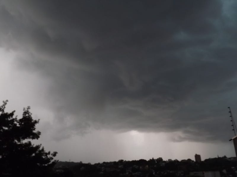

Thunderstorms will likely develop over parts of the Inland Empire Tuesday, lingering into Wednesday morning, as an unstable air mass settles over the region, according to the National Weather Service.
Forecasters said several troughs of low pressure are expected to scoop up subtropical moisture as they descend into Southern California from the west and north Tuesday, fueling the growth of thunderstorm cells over the deserts and mountains and pushing the inclement conditions into the valleys by nightfall.
Want to get caught up on what's happening in SoCal every weekday afternoon? Click to follow The L.A. Local wherever you get podcasts.
"These storms could arrive by Tuesday afternoon, but more likely by the evening hours and overnight," the NWS said in a statement. "As the moisture wraps around the low pressure, cloud-to-ground lightning, heavy rain and small hail are possible."
Forecasters acknowledged some locations, especially closer to the coast, "will see nothing" in the way of precipitation, but parts of the inland region, especially around mountains and passes, "could receive near a half-inch or more locally."
The instability is slated to linger into the first half of Wednesday, with most of the showery activity dissipating by Wednesday evening, according to the Weather Service.
High temperatures in the Riverside metropolitan area Tuesday will peak in the low 80s, with overnight lows in the upper 50s, with similar temps until Thursday, when daytime highs will begin to climb into the low 90s going into the weekend, followed by lows in the low 60s.
In the Coachella Valley, the daytime mercury will consistently settle in the upper 90s all week, with lows in the mid to upper 70s, while in the Temecula Valley, highs will generally top out in the upper 70s until the weekend, when they'll climb into the low 80s, with lows all week in the mid to upper 50s.
Follow KNX News 97.1 FM
Twitter | Facebook | Instagram | TikTok