The North Bay was arguably crushed hardest by the weekend’s record-setting storm – with water levels swelling the highest at Marin County’s iconic peak.
Mt. Tamalpais recorded 16.55 inches of rain over a 48 hour span last weekend, by far the most severe amount of rainfall at any Bay Area location, according to National Weather Service data from areas where precipitation has stopped.
St. Helena finished second at 10.92 inches, while other astonishing North Bay totals included Cazadero at 8.38 inches, Napa 5.46 inches, Petaluma 5.52 inches, and Novato 5.27 inches.
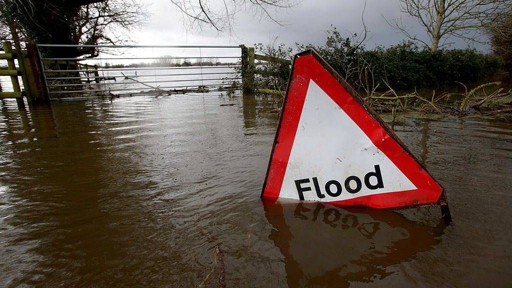
As a result of the atmospheric river storm, the region suffered massive flooding and power outages across Marin, Napa and Sonoma Counties.
In one instance, 95 homes and apartments in Santa Rosa’s Bennett Valley community flooded after the Matanzas creek overflowed, forcing residents to flee. Firefighters used large wildland firetrucks to rescue evacuees.
While the Russian River is not expected to flood, water levels are forecasted to rise up to 25 feet by Monday afternoon, which even long-time residents have not seen before.
In addition, 20,700 North Bay customers lost power, the second most of any Bay Area region behind the Peninsula.