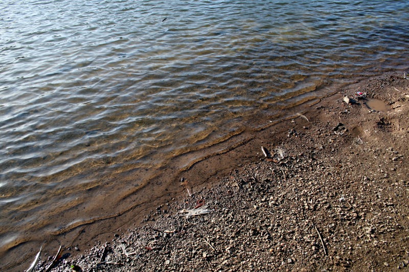
It was 60 years ago on this day (1965): official dedication ceremonies for the new Cheney Dam and Reservoir.
The lake has been in the news quite a bit lately here in 2025, as drought conditions have depleted its levels, affecting the potential of water availability for Wichita, the largest city in Kansas.
Water levels at Cheney Lake have now risen more than a foot since the beginning of May, after recent rains.
Despite the gains, Cheney Reservoir is measuring at 6.75 feet below normal.
The City of Wichita remains in Stage 2 of its drought plan, with outdoor watering on geographically-determined restrictions.The conservation pool has Cheney Lake at 62.75% full.
In 1950, Wichita started looking at an additional water supply to supplement its existing supply wells. The water of the Arkansas River was of poor quality and too polluted to use, leaving the Ninnescah River as the next-closest potential source.
In late 1955, it was proposed that the City of Wichita build a $25 million Cheney Reservoir project.
By early 1961, the proposed site for a future lake and Wichita water source was looked at 25 miles west of Wichita on 21st Street, called to be called Lake Wichita or Cheney Reservoir.
By the end of March in 1961, Congress has approved an initial $100,000 for construction on Lake Wichita, also called Cheney Reservoir.
By February in 1962, moving day was nearing for 170 families residing on land to be inundated by the new reservoir.
Within a month, the Wichita City Commission completed an $8.5 million bond issue to pay the city’s share of Cheney Reservoir work.
By October of 1962, work was 15% complete on the 4.5-mile-long earthen dam under construction on the north fork of the Ninnescah River.
By the summer of 1963, work on the dam was more than half-completed.
The final stages of earth-fill were reached on the Cheney Lake Dam in September 1964, and work on the dam finished by November 1.
The contract date for completion of the dam was January 20, 1965.
The gates were closed on November 5, 1964, and by the dedication in May 1965, the reservoir was about one-fourth filled. Water-pumping stations were built at foot of the dam, as four pumps with capacities of 20 million gallons each per day were completed at the site, bringing 50% of the Wichita water supply into the city through a five-foot pipeline laid the previous fall.
Delivery of water to the City of Wichita began in the summer of 1965; conservation storage of water increased until the reservoir was filled in October 1968.
70% of Wichita's drinking water comes from Cheney Reservoir.
Cheney Reservoir is located in Reno, Kingman, and Sedgwick counties, built and managed by the U.S. Bureau of Reclamation. The dam is located about four miles north of U.S. Highway 54/400. Most of the reservoir lies in Reno County, though its southwestern portion extends into Kingman County, and a small part along the dam lies within Sedgwick County
Cheney Dam is 126 feet high, and more than 24,000 feet long. Its upstream face is covered with soil cement, while its downstream face consists of a 12-foot layer of topsoil and grass. It has two sets of outlet works: one for the river, and one for Wichita's municipal water supply.
The lake has 9,500 acres of water-surface, 7,400 acres of land, and 67 miles of shoreline.
The Kansas Department of Wildlife, Parks and Tourism manages more than 5,000 acres of land around the reservoir as the Cheney Wildlife Area.
The KDWP operates 1,900 acres as Cheney State Park located on both shores of the reservoir's southern end, including boat ramps, campgrounds, and swimming beaches. The East Shore Area hosts a full-service marina, and the West Shore Area includes hiking trails as well as the Ninnescah Sailing Center.
Cheney Reservoir is open for sport-fishing year-round. Fish species resident in the reservoir include channel catfish, crappie, striped bass, walleye, white bass, and wiper. Two invasive species, the white perch and the zebra mussel, live in the lake as well.
Game animals living around the reservoir include doves, pheasants, quail, rabbits, and wild turkeys. Other land animals in the area include beavers, bobcats, muskrats, opossums, raccoons, red foxes, and skunks.
In 2016, geolocation company MaxMind announced that its default locations for various countries would be manually changed to point to bodies of water instead of pointing to places on land; this included setting the middle of Cheney Reservoir as the default location for the United States. MaxMind's default locations are placed near the geographic centers of their respective countries, and are the coordinates that MaxMind's online geolocation service provides whenever it's queried for an IP address where it can only determine the country of origin. Before the 2016 change, MaxMind's default location for the United States was a farmhouse in nearby Potwin, Kansas, but this caused significant legal trouble for its residents because various people and organizations assumed the farmhouse was the actual source of certain malicious IP addresses.
