


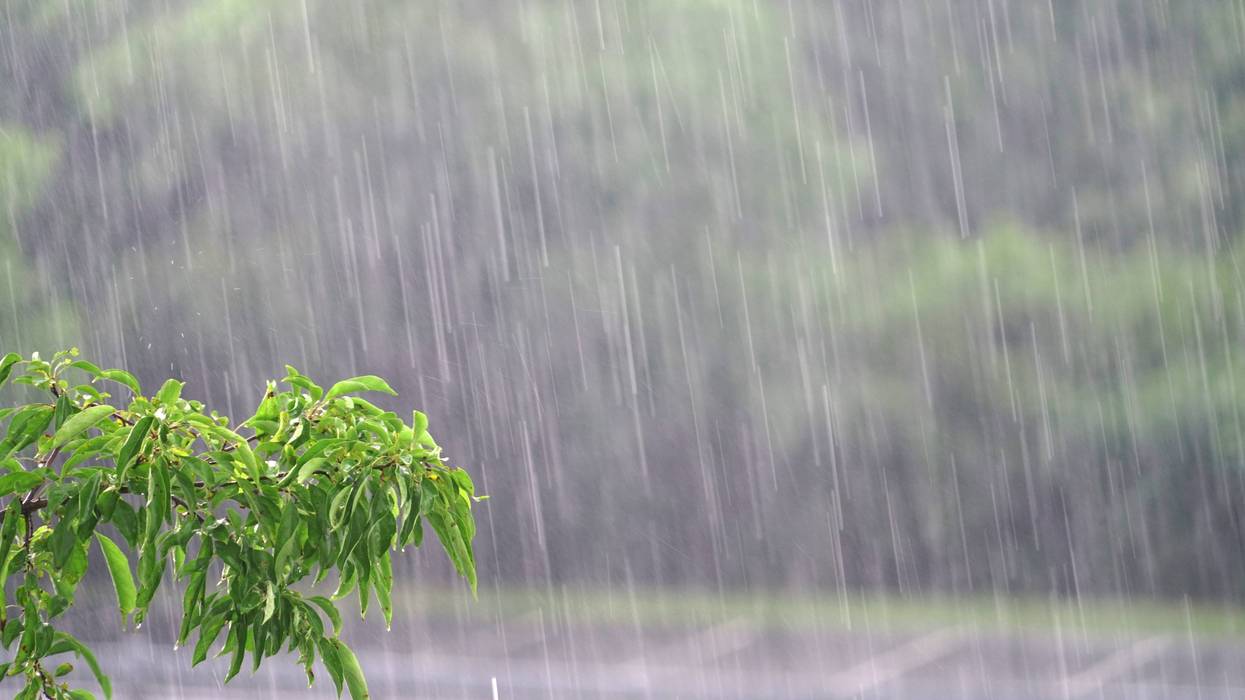
The first substantial storm of the fall drenched much of Southern California on Tuesday, dropping as much as 5 inches of rain in select areas and prompting evacuation orders and warnings, but the region appeared to dodge any damaging mud or debris flows.
One person was found dead in the rain-swollen Santa Ana River near MacArthur Boulevard in the Fountain Valley area of Orange County around midday Tuesday, but the circumstances of the fatality were not immediately known.
The rain began falling in Los Angeles County during the overnight hours, making for a wet morning commute and leading to widespread reports of vehicles spinning out and several trucks overturning.
The northbound Golden State (5) Freeway in the Sun Valley area flooded late Tuesday morning, forcing a temporary closure of all lanes. Much of the southbound 5 Freeway in the same general area was also closed at the same time due to an overturned truck.
As the storm system advanced eastward across the area, the National Weather Service issued a series of severe storm and flood warnings, primarily affecting communities near the Palisades Fire burn zone, where some evacuation orders and warnings were in effect.
Mandatory evacuation orders were issued Monday night for about 120 homes in the Pacific Palisades area in advance of the storm. According to the Los Angeles Fire Department's Margaret Stewart, 114 of the homes were in the Mandeville Canyon area, five were in the Hearst area and one in the Sunset area.
All were deemed to be at higher risk from possible debris flows and Los Angeles police began knocking on doors of those homes Monday night, she said.
The rest of the Palisades Fire burn area was under voluntary evacuation warnings.
Although the rain had largely subsided by mid-afternoon, Stewart said authorities were still evaluating whether to lift any of the evacuation warnings or orders.
"A strong system for any time of year, let alone October, has finally exited the area," NWS forecasters said in a 2 p.m. update. "Still could see a 5-10 minute moderate shower just about anywhere through this afternoon but for the most part the big impacts have ended. The big rain winners were in the San Gabriel Mountains where there were several reports of rain amounts over 5 inches. Otherwise most areas ended up with between 1 and 1.5 inches."
According to the NWS, about 2 inches of rain fell in Bel Air and Beverly Hills, while nearly 3.5 inches fell in the Sepulveda Canyon. Downtown Los Angeles saw about 1.3 inches.
But despite the evacuation warnings -- which were also posted in the Eaton Fire burn area in Altadena, the Hurst Fire area in Sylmar and Sunset Fire in the Hollywood Hills -- the Southland appeared to have avoided any major flood or debris flow damage. Some minor flows did occur on hillsides as rainfall rates neared 1 inch per hour in some locations, but no significant damage was reported.
Want to get caught up on what's happening in SoCal every weekday afternoon? Click to follow The L.A. Local wherever you get podcasts.
Malibu officials also announced evacuation warnings and shelter-in- place advisories for residents of a number areas, including Rambla Pacifico, Carbon Beach West/Malibu Beach, Sweetwater Canyon, Sweetwater Mesa, Serra Retreat. Malibu Creek, Cross Creek, Malibu Colony, the Civic Center, Malibu Knolls, Malibu Road, Malibu Country Estates, Puerco Canyon, Las Flores Mesa, Big Rock, Big Rock Beach, Tuna Canyon (south), Las Tunas Beach and Topanga Beach Drive.
Pepperdine University shifted to remote classes on Tuesday due to the storm, but regular in-person instruction was set to resume Wednesday.
In Orange County, mandatory evacuation orders took effect at 10 a.m. Tuesday for Trabuco Creek including the RC Airport, fire station, campground/park and school; Bell Canyon including Starr Ranch; and Hot Springs Canyon including Lazy-W Ranch. Evacuation warnings were in place for Long Canyon and Modjeska Canyon.
All those areas are in the area of the Airport Fire burn scar.
Forecasters said that with the storm largely vacating the area, Southern California can expect much calmer weather for the next few days.
"A light Santa Ana event will follow this storm, peaking Thursday/Friday," according to the NWS. "Winds are not expected to be too strong, but could get some gusts into the 30s in the San Gabriels and some of the higher valleys of LA/Ventura Counties. The more notable change will be the temperatures which will warm up well into the 80s across the valleys and mid 70s to low 80s at the coast."
Follow KNX News 97.1 FM