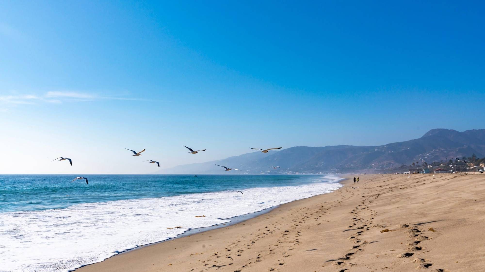


LOS ANGELES (CNS) - A late-season storm is bearing down on the area Thursday, promising to bring wet conditions into Thursday.
According to the National Weather Service, coastal and valley areas could get between a half-inch to an inch of rain before things dry out later in the day Thursday, while mountains and foothills could see between 1 and 2 inches.
The storm will bring a roughly 20% chance of thunderstorms, with those chances largely dwindling by Thursday afternoon, forecasters said.
According to the NWS, the most likely timing of thunderstorms will be in the overnight hours before 8 a.m. Thursday, with some areas potentially seeing rain falling at a rate of a half-inch per hour.
"Can't rule out some isolated flooding issues during these heavier periods along with some shallow mud and debris flows over recent burn areas," forecasters said.
Some mountain areas will see even more snow, with an average of 4 to 8 inches possible at elevations above 6,000 feet, and a chance of accumulations exceeding a foot in some isolated spots. Lesser amounts of snow are possible down to 4,000 feet. Forecasters said there is a 30% chance of an inch or more of snow falling over the Grapevine stretch of Interstate 5 in northern Los Angeles County, so motorists should be on alert for possible closures or police escorts.
A winter weather advisory will be in effect until 5 p.m. Thursday in the eastern San Gabriel Mountains, with the anticipated snow accompanied by winds of up to 45 mph.
"Most of the precipitation should be over by Thursday night, however, the air mass remains quite moist through Friday and a stray shower or two can't be ruled out, especially near and over the mountains," according to the NWS. "Temperatures will remain on the cooler side through Saturday at least."
Forecasters said some lingering showers are possible in inland areas on Friday and into Saturday, but "drier and warmer conditions are expected this weekend into next week."
Follow KNX News 97.1 FM
Twitter | Facebook | Instagram | TikTok