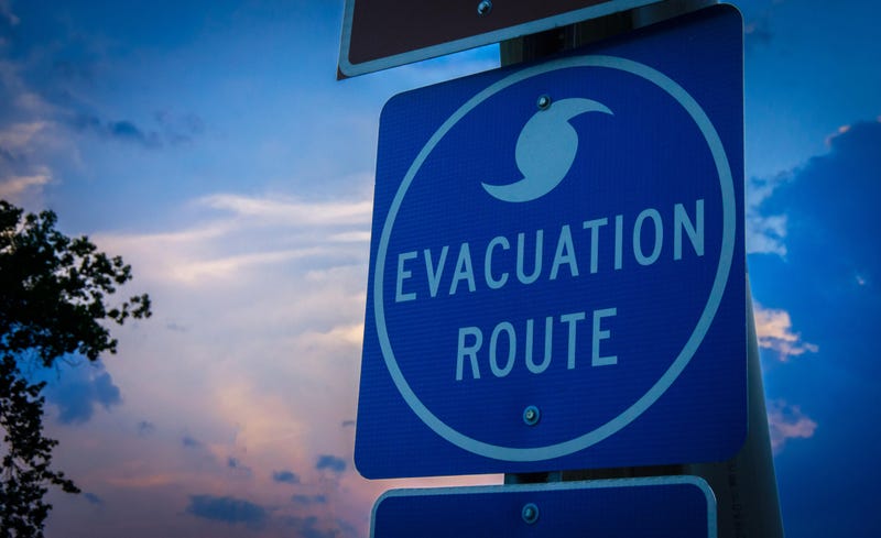
The California Geological Survey announced a new, interactive tsunami hazard map available online for Orange County on Thursday.
Officials hope the interactive map can help residents plan evacuations if there is a threat of a tsunami. Hazard zones are shown in yellow and non-hazard zones are shown in green.
According to the state's Office of Emergency Services, over 150 tsunamis have hit California’s coast since 1800. While most are barely noticeable, "nearly a dozen have caused fatalities or significant damage, most recently during the March 11, 2011 tsunami from Japan."
The map is an update of the 2009 version.
“We have new scientific information and better computer modeling which has resulted in better forecasts about whether or not an earthquake will create a tsunami, and the path one would take. This new information can help local governments and emergency response providers update their community evacuation plans,” State Geologist Steve Bohlen said in a statement.
According to the LA Times, the tsunami hazard zone slightly increased in Newport Beach. Hazard zones include the area between the Balboa Peninsula to Pacific Coast Highway and the Newport Back Bay.
The paper reported that Bolsa Chica and Huntington Beach tsunami hazard zones decreased because new data revealed levees and ponds could protect residents. Pacific Coast Highway is also considered a tsunami hazard zone.
A Los Angeles County map was released in March.
The maps were a collaboration between the California Geological Survey, the Governor’s Office of Emergency Services, AECOM Technical Services and the Tsunami Research Center at the University of Southern California.
The agency added that it will also begin to include tsunami evacuation material in the online interface as it is developed.
"[California Geological Survey] is always learning new things about tsunami sources and new modeling techniques that help improve our tsunami hazard products,” said Jacob Roper, the assistant director of communications at the state Department of Conservation told the paper.
It is not only Orange County that is receiving an update.
“We hope to have the entire coast updated within two years,” Rick Wilson, head of the CGS tsunami program, said.
The map is available at the Department of Conservation’s website.
