


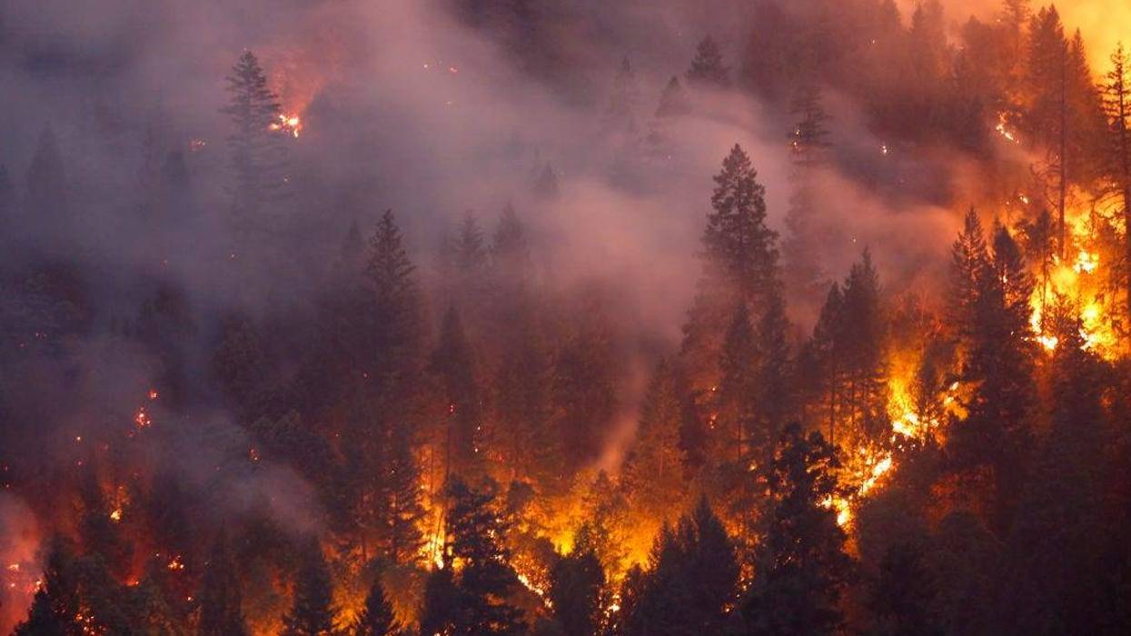
Northern California's Caldor Fire is burning out of control, having doubled in size in just 24 hours and destroying much of Grizzly Flats – a community housing about 1,000 people.
The wildfire has already provided some stunning images.
But the true scope of a fire of this size – 54,000 acres and growing – can only be understood from above.
We're getting our first look at the El Dorado County fire from space, courtesy of Twitter user @Pierre_Markuse. According to the tweet, the satellite image shows an 18-mile snapshot surrounding the Caldor Fire, including giant columns of smoke and bright, orange fire streaks across the burn area.
It's not yet clear how many structures the Caldor Fire has destroyed. Roughly 6,000 structures remain threatened as firefighters battle back the intense flames in windy conditions, CAL FIRE officials said.
As of Monday morning, the fire is 0% contained.