
A Flood Watch covers much of North Texas beginning at 4 p.m. Wednesday as leftover moisture from Hurricane Polo and a slow-moving storm system bring the first widespread, heavy rain since midsummer.
The National Weather Service in Fort Worth says the watch runs through Friday morning for counties along and west of Interstate 35, including Dallas, Tarrant, Denton, Collin, Ellis, Parker and others. Forecasters expect multiple rounds of showers and thunderstorms. Widespread rainfall of 2 to 4 inches is likely through Thursday night, with isolated totals up to 6 inches where storms train over the same neighborhoods. A few severe storms Wednesday evening could also produce hail and damaging wind.
The rain is tied to tropical moisture from Polo, which made landfall in Baja California earlier this week, then fell apart over northwestern Mexico. That plume already flooded parts of Arizona and New Mexico on Tuesday, forcing evacuations in southern New Mexico towns over dam concerns and prompting water rescues in the Phoenix area, according to national forecasts compiled by The Weather Channel.
Widespread rain is expected Wed through Thu PM. Some storms could become severe Wed PM, with damaging winds and hail. Rain totals between 2-4" are expected through late Thursday night, with iso higher totals up to 6". A Flood Watch is in effect through Fri AM. #dfwwx #ctxwx pic.twitter.com/a7mL1m8JyZ
— NWS Fort Worth (@NWSFortWorth) September 29, 2026
For Dallas-Fort Worth, the soaking would be a sharp break from a historically dry stretch. DFW International Airport went 67 consecutive days without measurable rain from mid-July until Sept. 21, tying the second-longest dry streak on record. August recorded no measurable rain at the official climate site.
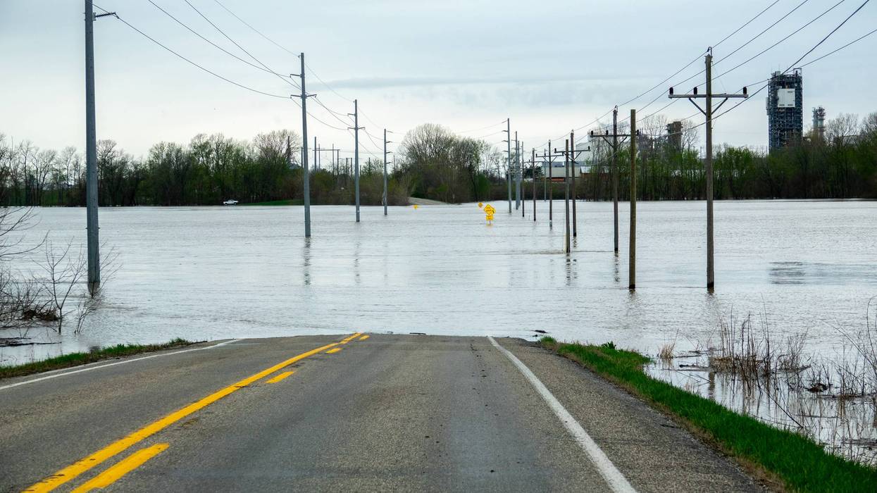
City crews are treating the event as a flash-flood threat, not a drought-ender that can be ignored. The City of Fort Worth said it expects 2 to 5 inches across town Wednesday through Friday, with up to 8 inches possible in repeat-storm spots, and placed the city at a high flash-flood level for Wednesday and Thursday. Officials urged residents to move cars out of low-lying areas, stay off flooded roads and keep away from creeks and the Trinity River.
Dallas Fire-Rescue and Dallas Water Utilities are staffing for high-water calls and checking pumps, inlets and known flood-prone pockets, including parts of northwest Dallas, East Dallas and the Turtle Creek corridor, CBS News Texas reported. A watch means flooding is possible. A warning means flooding is happening or imminent.
Drivers are being told to turn around rather than enter water covering a roadway. Six inches of moving water can knock a person down; a foot can sweep a vehicle away.
LISTEN on the Audacy App
Tell your Smart Speaker to "PLAY 1080 KRLD"
Sign Up to receive our KRLD Insider Newsletter for more news
Follow us on Facebook | Twitter | Instagram | YouTube