


A Winter Storm Watch goes into effect at noon Friday across parts of North Texas, and it is the National Weather Service's way of saying: conditions look favorable for a significant winter weather event, but the exact details are not locked in yet.
If you remember 2021 and your brain immediately goes to worst-case mode, that reaction is normal. A watch is not a promise that everyone gets ice and snow. It is a serious heads up that the ingredients are coming together, and now the forecast is entering the window where small temperature changes can make a big difference.
What a Winter Storm Watch means
A Winter Storm Watch is issued when forecasters see a reasonable chance of impactful winter weather, such as snow, sleet, or freezing rain, typically within the next day or two. The key word is possible.
Think of it like this: the Weather Service is seeing enough risk to say, "Start preparing now, because this could turn into a warning."
What it does not mean:
It does not mean a storm is guaranteed to hit your neighborhood.
It does not mean conditions will be severe everywhere in the watch area.
It does not mean you should panic buy 400 cans of beans.
What it does mean:
Forecast confidence is high enough that you should review your plan and watch for upgrades.
The main question is often type and timing: rain vs freezing rain, sleet vs snow, and when temperatures drop below freezing.
Why watches matter in North Texas
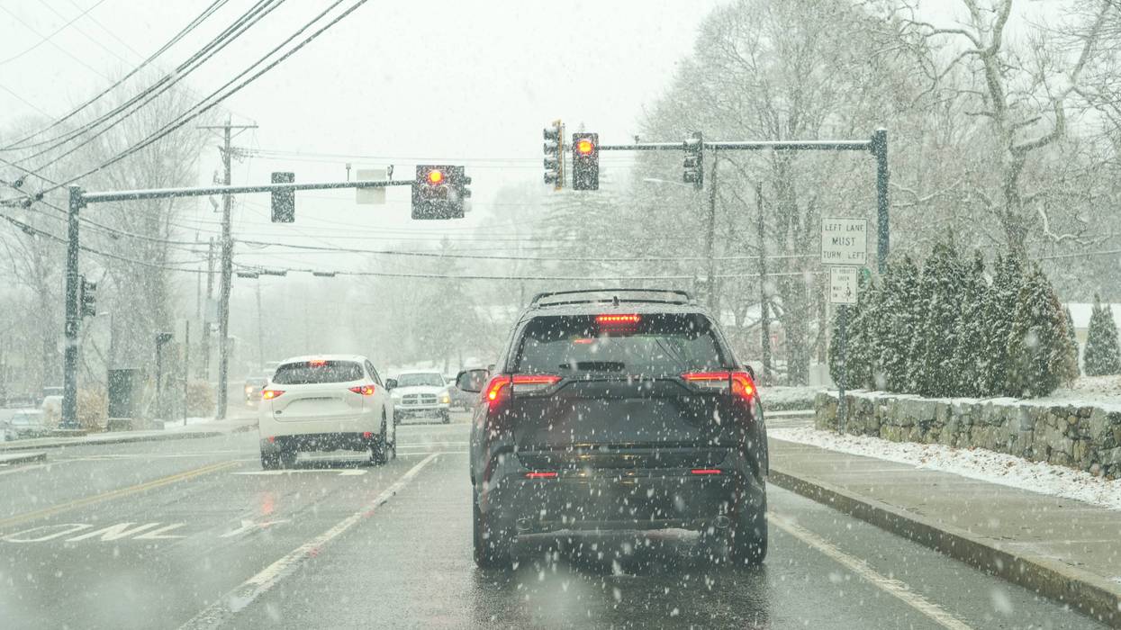
North Texas does not need a huge amount of wintry precipitation to cause major problems. A thin glaze of ice can do it, especially on bridges and overpasses.
A watch is often issued when forecasters are still working through details like:
Where the cold air line sets up
How much moisture arrives and when
Whether temperatures at the surface stay below freezing long enough for ice to accumulate
What usually comes next
Once the forecast sharpens, a Winter Storm Watch typically goes one of three directions.
1) It gets upgraded to a Winter Storm Warning
That happens when confidence rises that hazardous winter weather is likely and impacts are expected. A warning is closer to "Get ready, it is coming."
2) It shifts to a Winter Weather Advisory
That is used when wintry weather is expected, but impacts are more limited. Advisory-level events can still be dangerous, especially for driving.
3) It gets canceled or trimmed back
Sometimes the storm track shifts, temperatures stay just warm enough, or the heaviest impacts move elsewhere. The watch area may shrink, or the watch may be dropped.
There are also more specific warnings that could come into play if freezing rain becomes the main threat, including an Ice Storm Warning in the most severe scenarios.
The timeline to watch closely
With a watch starting at noon Friday, the most important forecast updates usually happen in the 24 to 36 hours before impacts begin. That is when confidence tends to climb and watches are most likely to be upgraded.
In practical terms, that means:
Thursday: forecast details begin to tighten
Friday morning: decisions may come into focus for schools, travel, and events
Friday afternoon into the weekend: impacts may ramp up depending on timing and temperatures
What you should do now
A watch is your cue to do the simple, boring stuff that feels unnecessary until it is not.
For your home
Charge phones and battery packs
Check flashlights and batteries
Plan for pipes: know where your main shutoff is, and cover outdoor faucets
For your car and travel
Avoid "I will just see how it looks" driving, especially at night
Keep a blanket, water, and a charger in the car if you must travel
Bridges and overpasses ice first, even when surface streets seem fine
For your schedule
If you have a flexible trip, start thinking about backup plans now
If you have kids, expect school districts to monitor the forecast closely and adjust quickly
What you should watch for in updates
When the next forecast comes out, these are the details that help you make real decisions:
When temperatures fall below freezing and how long they stay there
Whether precipitation arrives before or after that temperature drop
Ice potential and where the highest risk corridor sets up
Any upgrade from watch to warning or advisory
Bottom line
A Winter Storm Watch is the Weather Service saying, "The risk is real. Now is the time to prepare and pay attention." The next step will depend on how confidence changes and where the highest impacts are expected, and that can shift quickly in North Texas.
Sources: National Weather Service winter weather watch, warning, and advisory definitions.
LISTEN on the Audacy App
Tell your Smart Speaker to "PLAY 1080 KRLD"
Sign Up to receive our KRLD Insider Newsletter for more news
Follow us on Facebook | Twitter | Instagram | YouTube


