


Well, we hit 102° yesterday at DFW Airport, and we’ll most likely hit 102° again today. One thing that is different from yesterday: Heat Advisories have returned to North Texas, and they may continue all the way through the weekend and possibly for most of next week as high pressure continues to dominate our weather in the upper levels of the atmosphere.
So, stay cool and stay hydrated, my friends.
Good morning, everyone, and welcome to almost Friday. We’re waking up to temperatures in the upper 70s to low 80s this morning with nearly a cloud in the sky.
Today, once again, we’re forecasting a high of 102° as this ridge of high pressure continues to dominate our weather. Temperatures will remain in the triple digits tomorrow and through the weekend. Saturday will likely be around 102°, with Sunday potentially reaching 103° to 104°. Unfortunately, that relentless heat will continue into Monday, Tuesday, and Wednesday of next week.
Meanwhile, other areas of the country are dealing with flooding across the Central and Northern Plains and into the Midwest. A series of disturbances continue to move around the northern fringes of this ridge of high pressure, from Nebraska into southern South Dakota and across Iowa, Illinois, and Indiana, where Flood Watches are in place. If you’re traveling into these areas over the next couple of days, be prepared for possible delays and difficult travel conditions.
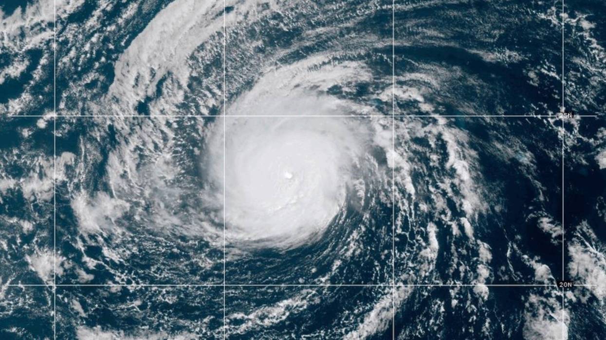
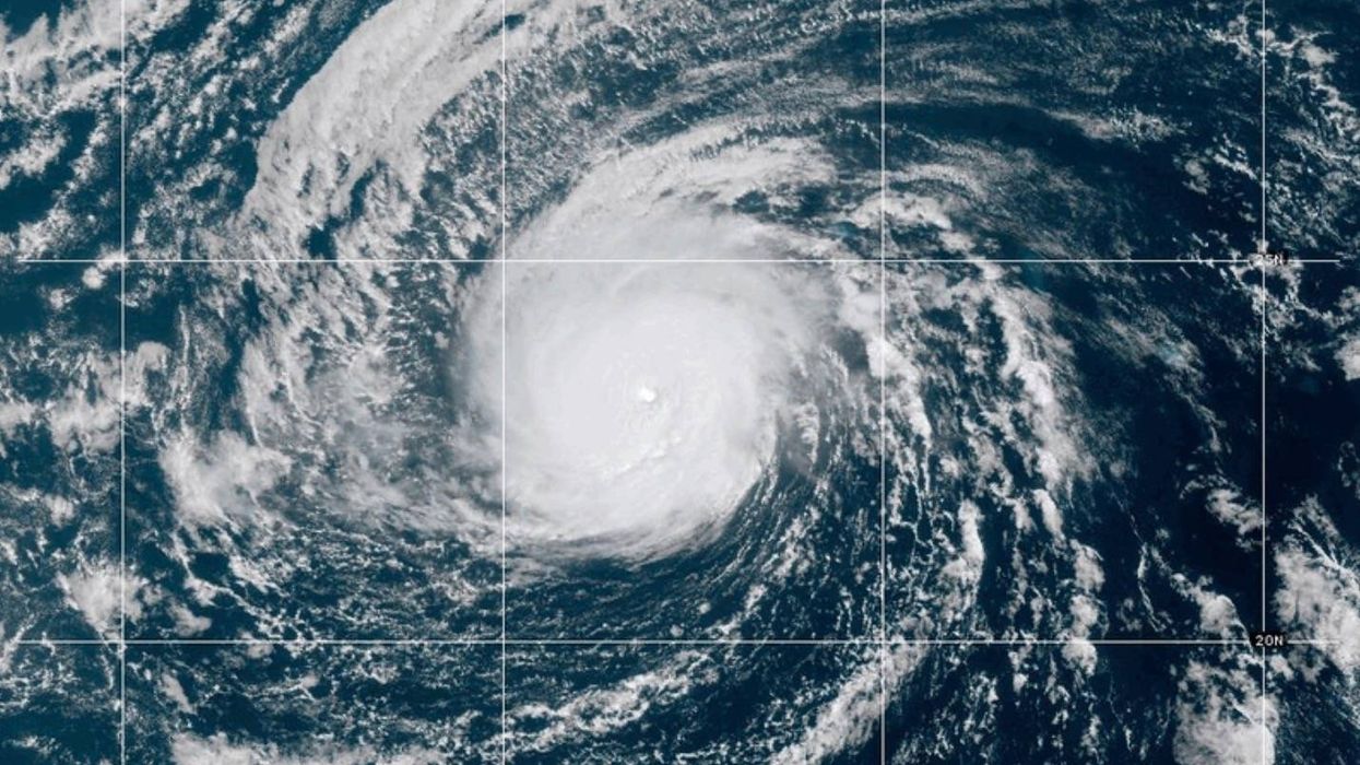
Otherwise, the Gulf of Mexico remains quiet. There are a couple of systems the Hurricane Center is monitoring in the open Atlantic, including one area moving off the coast of Africa, but as of now, neither system is threatening any land areas.
Have a great day today. Stay hydrated, take breaks from the heat, and enjoy the weather when you can. It’s the only weather you’ve got.
7-Day Headlines:
- DFW Airport hit 102 degrees on Tuesday
- 19 triples this summer
- 28 days with no measurable rain at DFW
- Heat Advisories are back again
- No rain for a while
- Triple digits through next week
- Download our AUDACY app! Listen to KRLD LIVE at home or at work
Almanac:
- Yest Rain: 0.00”; Yest High: 102; Low: 81
- Today’s Averages: High: 97; Low: 76
- Record high: 106 (2023); Record low 56 (1967)
- August rain: Trace; Deficit: <0.73”>
- 2026 Rain: 22.61”; Snow: 2.4”; Deficit: <0.49”>
- Sunrise: 6:51am; Sunset: 8:14pm
Forecast:
Thursday: **Heat Advisory** Sunny, windy, and hot. Grass fire danger. “Perseid Meteor Showers overnight”. High:102. Heat index: Near 107. Wind: South 15-25, G30 mph.
Thursday night: Clear, breezy and warm. Low: Near Low 80s. Wind: South 15-25, G30 mph.
Friday: **Possible Heat Advisory** Sunny, breezy and hot. Grass fire danger. High: 101. Heat index: Near 107..
Saturday: **Possible Heat Advisory** Sunny, breezy and hot. Grass fire danger. High: 101. Heat index: Near 105.
Sunday: : *Heat Advisories likely** Mostly sunny and hot. Less wind. High: 102. Heat index: 107.
Monday: : *Heat Advisories likely** Mostly sunny and hot. High: 104. Heat index: Near 109.
Tuesday and Wednesday: More of the same. Sunny and hot. High: 105. Heat index near 110.
LISTEN on the Audacy App
Tell your Smart Speaker to "PLAY 1080 KRLD"
Sign Up to receive our KRLD Insider Newsletter for more news
Follow us on Facebook | Twitter | Instagram | YouTube