
No more ice or snow is anticipated, with a gradual warming trend expected throughout the week and into the weekend. Additionally, a system early next week may bring rain back to the area, although this remains uncertain at present.
Good morning, and welcome to Wednesday. Please note that temperatures have dropped into the 30s under a clear sky, and it is recommended to grab a jacket on your way out. The wind is currently light but will pick up by late morning, with gusts reaching 20 mph from the north. Afternoon highs are expected to reach the mid-50s, although the wind chill will make it feel like the upper 40s throughout the day. It is advisable to keep your jacket handy. Humidity levels will be low, which means that hair will remain styled throughout the day, as long as you stay out of the wind.
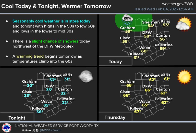
Thursday morning is expected to be chilly once again, with temperatures dropping to the lower 30s. A light freeze is anticipated in some isolated areas, although most areas will remain above freezing. Sunny and beautiful conditions are expected, with winds shifting to a more westerly direction on Thursday. Afternoon highs are expected to warm up to the mid-60s.
As the polar jet stream moves north, no Arctic air is expected to impact the area in the near future. In fact, a high-pressure system in the upper levels of the atmosphere will keep precipitation at bay and warm temperatures up through the end of the weekend.
By Friday, temperatures are expected to warm up to the low 70s, with plenty of sunshine. It is anticipated that temperatures will reach the mid to upper 70s over the weekend, with south winds picking up.
As Gulf of Mexico moisture streams northbound over the weekend and into early next week, low clouds are expected to develop in the morning hours, particularly on Monday and Tuesday. Morning lows are expected to be in the 50s, with afternoon highs remaining in the mid-70s.
A possible weather system is currently being tracked over the Pacific Ocean. The track, speed, and strength of this system will be monitored, and a determination will be made at a later date regarding the potential for rain on Monday and Tuesday. Please stay tuned for further updates.
I hope you enjoy your day and always enjoy the weather when you can, It's the only weather you've got!
7-Day Headlines:
* DFW Airport reached 67 yesterday.
* Wednesday’s the coolest over the next seven.
* A light freeze in areas Thursday morning.
* Warming trend through the weekend.
* 70s Friday through early next week!
* Watching early next week for rain to return.
*Yest Rain: 0.00”; Yest High: 67; Low: 46
*Today’s Averages: High: 59; Low: 38
*Record high: 82 (2008); Record low 8 (1996)
*February rain: 0.00"; Deficit:
*2026 Rain: 0.93"; Snow: 2.4” Deficit:
*Sunrise: 7:20am; Sunset: 6:04pm
Wednesday: Sunny, breezy and cool. High: Mid to upper 50s. Wind: North 10-20 mph.
Tonight: Clear and crisp. Low: 28-34. Windy North 5-10.
Thursday: Sunny and perfect! High: Mid 60s.
Friday: Sunny and awesome! Golf anyone? High: Low to mid 70s.
Weekend: Mostly sunny and spectacular! Highs: Low to mid 70s.
Monday and Tuesday: Mostly cloudy and mild. Slight rain chance. High: Low 70s.
LISTEN on the Audacy App
Tell your Smart Speaker to "PLAY 1080 KRLD"
Sign Up to receive our KRLD Insider Newsletter for more news
Follow us on Facebook | Twitter | Instagram | YouTube