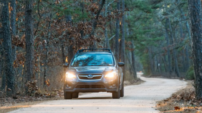
NEW JERSEY (KYW Newsradio) — After years of collecting information and hearing thousands of comments, the New Jersey Department of Environmental Protection has released a new usage map for all of the open roads in Wharton State Forest.
It includes more than 250 miles of paved and unpaved roads, all of which are now named. That will help first responders a lot, said Assistant Commissioner John Cecil, as people would previously get stuck and have trouble explaining where they were.
Cecil said the map does cut off access to some places, but 98% of the forest is within a one-mile walk from the network-mapped roads. And, users can download it to navigate with satellite positioning instead of relying on cellphone service.
He said the overall goal is to keep the map accessible and safe.
“Making sure we can protect the public and keep them safe, first and foremost,” he said. “We look at fire access routes, considerations from park police. We met with the hunting community. We listened to folks that like to drive their Jeeps through the forest.”
For more information, visit nj.gov/dep/parksandforests/wharton.
