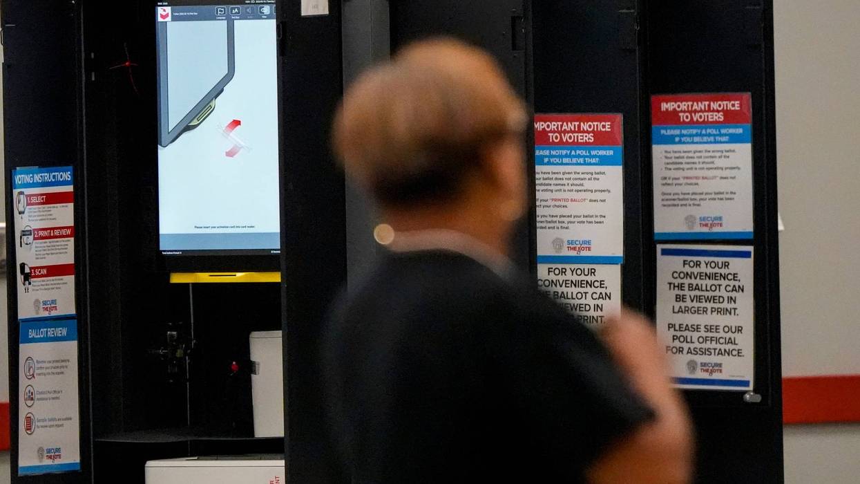


PHILADELPHIA (KYW Newsradio) — A Pennsylvania House committee moved a new congressional map Wednesday, as the redistricting process shifts into another gear.
The House State Government Committee made some changes to the map it introduced last week, which was drawn by Pennsylvania resident and redistricting advocate Amanda Holt.
Committee chair Seth Grove (R-York County) outlined the tweaks to the map, including some changes to the second and third districts in Philadelphia and to the sixth district in Chester County. He said that unlike years past, they've done it without playing politics.

"The process date that led us here today has been one that we have ignored partisan data in the development of the underlying map, and development of this amendment," said Grove.
But minority chair Scott Conklin (D-Centre County) pushed back, saying Democrats on the committee had no say on which map was picked, or on the tweaks to the map.
"Our idea of having maps as we all do our own map. So we all do our own thing. And that's the problem. We're all doing our own thing. Let's work together."
Representative Maureen Madden (D-Monroe County) said she hears Republicans on the committee using the word transparency, but she doesn't hear them saying the word bipartisan.
"I don't hear where our members, the Democratic members of this committee had access to see the maps on the website had access to see the testimony on the website," said Madden.
But Grove said all the information is publically available on the website paredistricting.com.
"Everything is right there in front of every single member," said Grove.
"You can read through testimony, public input, it is all public. That is the point of public input."
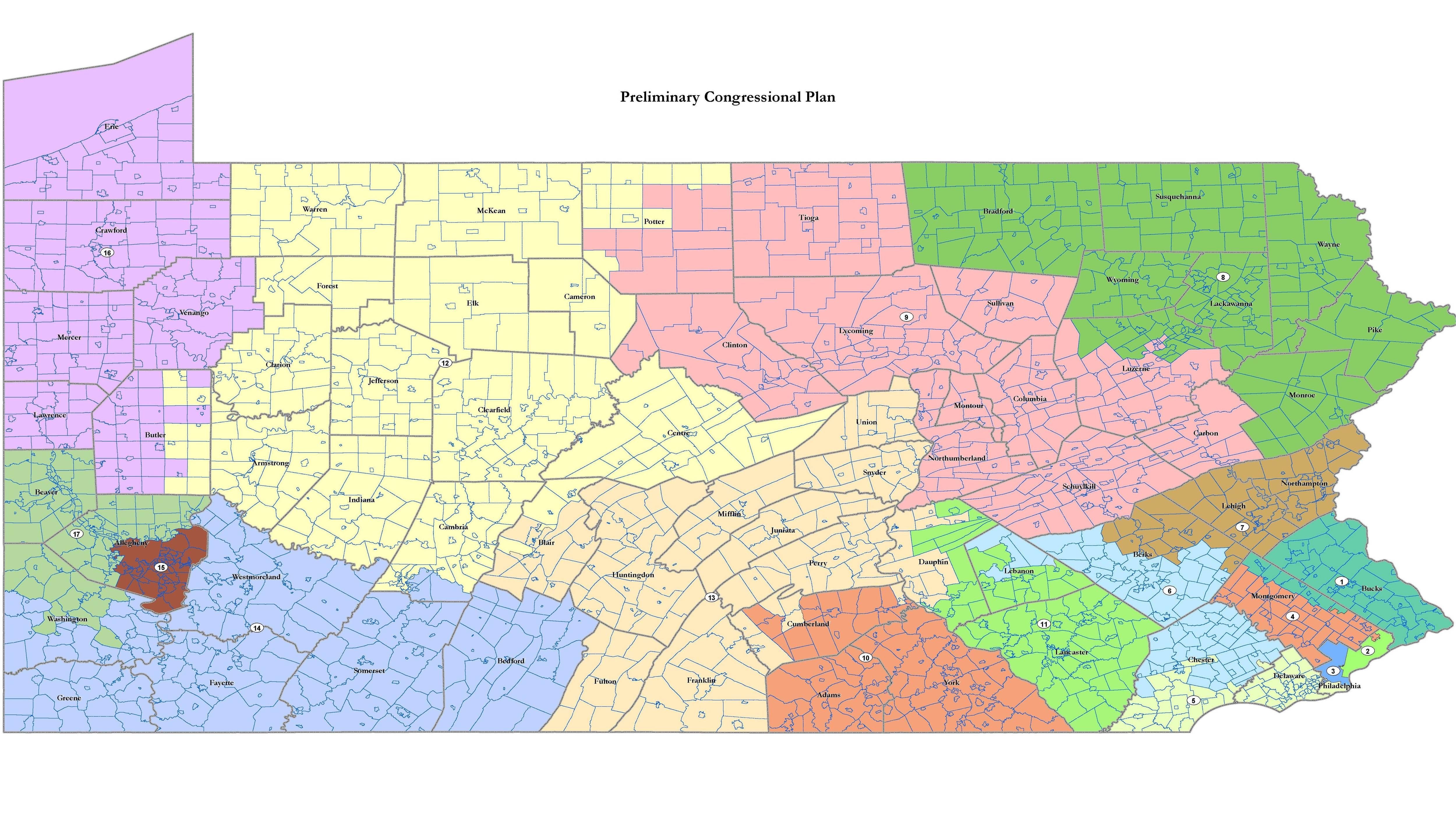
Under the proposed map, Bucks County's first district takes more area from Northeastern Montgomery County. Montgomery County's fourth district takes a part of Northeast Philadelphia. Chester County gets split between the fifth with Delaware County and Southwest Philadelphia, and the sixth with Berks County.
The maps for state representatives and state senators is drawn by a committee made up of legislative leaders.
The Pennsylvania Department of State has set a January 24 deadline for the new maps, to allow enough time before candidates start circulating nominating petitions in mid-February.