


SOUTH JERSEY (KYW Newsradio) — Another wintry blast is coming, and the Jersey Shore is expected to see the worst of it.
A cold weather advisory is in effect through Saturday at 10 a.m. Real-feel temperatures in Philadelphia will be in the single digits or lower, according to Accuweather, with most suburbs below zero.
There's a slight chance for light snow on Sunday at the Jersey Shore and coastal Delaware, though little accumulation is expected. The National Weather Service forecasts strong wind gusts of 40 to 50 mph and minor coastal flooding.
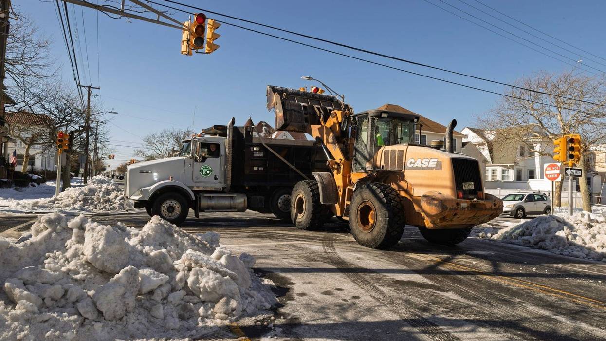
It took most of the week for some shore towns to finally get out from under a blanket of snow and ice from last weekend's snowstorm.
"We're very prepared," said Atlantic City Public Works Superintendent James Grams. "We're in the snow hauling and removal operation."
He said crews have been working overtime, trying to make room for the next round of snow. They have hauled more than 200 truckloads of snow from the last storm to Bader Field.
"It's a pretty big operation out there right now, and we're steady at it," Grams said. "We're going to continue on to tonight with preparations for whatever happens this weekend."
Other towns are making similar preparations. The Cape May County Office of Emergency Management urges residents to coordinate a place to stay with friends or relatives if they need to evacuate due to the storm.