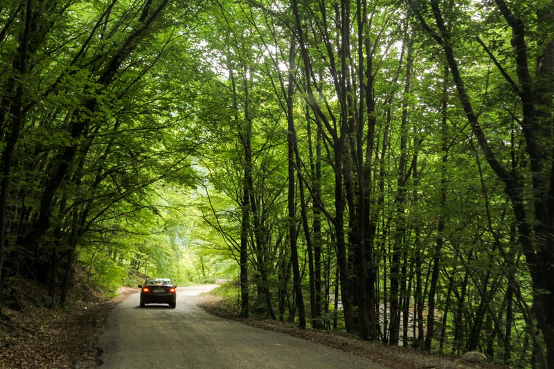
SOUTH JERSEY (KYW Newsradio) — After hundreds of public comments, New Jersey state park officials have proposed a new 200-mile vehicle map in the Wharton State Forest as a way to provide access while also prioritizing safety and conservation.
At about 125,000 acres, Wharton State Forest is the largest of New Jersey’s state parks. However, people in all-terrain and four-wheel drive vehicles have been able to drive around wherever they like.
A recent survey found the public actually wants more enforcement of road rules, so this proposed map establishes 200 miles of routes designated for vehicle use.
Proposed map
Assistant Commissioner John Cecil said they looked at more than 400 miles of paved and unpaved roads and had to make tough decisions to exclude many of those routes, either because they were unsafe or too disruptive to natural resources.
The routes they included are “drivable, passable, manageable, maintainable,” he said, while those they excluded “either don’t exist or have such overlap with resource concerns or public safety concerns that we don’t believe that they should be open for vehicle use.”
According to Cecil, 98% of Wharton State Forest is within a one-mile walk from the routes on the proposed map. So while some who enjoy fishing and hunting will be allowed to continue those activities at their favorite spots, Cecil said they’ll probably have to walk more than they’re used to.
The full map and detailed proposal outlines are available to view online. The public has 45 days to comment on the proposal before the map is finalized.
