


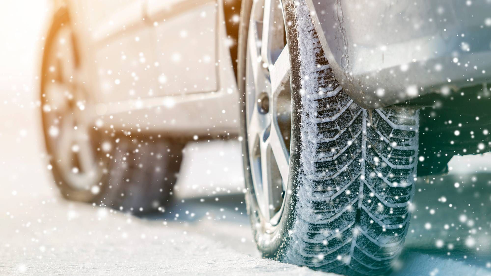
AUSTIN (Talk1370.com) -- A blanket of as much as 6 inches of snow fell across the Austin area Sunday night into Monday morning, turning an already frozen Central Texas into a treacherous, dangerous winter wonderland - and ushering in some of the coldest temperatures the area has seen in more than 30 years.
WINTER STORM WARNING continues until noon Monday...
WIND CHILL WARNING continues until noon Monday...
Dangerous travel conditions prompted Austin Mayor Steve Adler and Travis County Judge Andy Brown to jointly issue a local state of disaster, with similar declarations being made in neighboring counties. "The winter weather conditions we are experiencing are serious and can be deadly if we don't all take precautions," Judge Brown said in a statement. "We encourage everyone to seek shelter and stay off the roads unless it is an emergency."
First responders began to experience difficulties responding to calls Sunday afternoon, with icy roadways being the biggest issue. Austin-Travis County EMS said it would begin taking patients to the closest hospital to an incident, as well as using 4x4 vehicles to access patients in locations where ambulances are having difficulty traveling.
Dangerous road conditions prompted the Central Texas Regional Mobility Authority to close all of its facilities mid-afternoon Sunday. That includes the 183A Toll, 290 East Toll, 183 South Toll, 71 East Toll, 45 Southwest Toll, and the MoPac Express toll lanes. Drivers will be directed to the frontage roads when conditions allow. The Texas Department of Transportation says its facilities, including SH 130 and SH 45, will generally remain open, though isolated spots may be difficult if not impossible to maneuver.
Temperatures fell into the single digits Monday morning, bringing the area its coldest temperatures since December 1989, and they will likely only rise into the teens on Monday afternoon. If the forecast holds and the daily high stays below 20 degrees, it will be the coldest day in Austin's history.
For the first time ever, Wind Chill Warnings have been issued for the Austin area. With temperatures falling into the single digits, wind chill values are expected to drop to -15 to -20 degrees.
The bitter cold temperatures are expected to place heavy demand on the state's electric grid. ERCOT, the state grid operator, has urged residents across the state to conserve electricity as much as possible, in an effort to prevent overwhelming the grid and the potential need for rolling outages.

Despite the snow coming to an end Monday morning, travel is expected to remain hazardous for much of the area for several days as bitterly cold temperatures persist into Tuesday morning. If temperatures fall below the 4 degree mark, it will be the coldest temperature Austin has seen since 1899 - coincidentally, Feb. 13, 1899.
Past the bitter cold of Tuesday morning, forecasters are expecting mostly sunny skies which will likely give crews a chance to clear many travel paths - just in time for another winter storm due to make its arrival on Wednesday, with accumulating ice and even potential snow into Thursday morning.


