Buffalo, N.Y. (WBEN) - When it comes to anticipating the annual threat of ice jam flooding in Buffalo and Western New York, there can't be too much preparation.
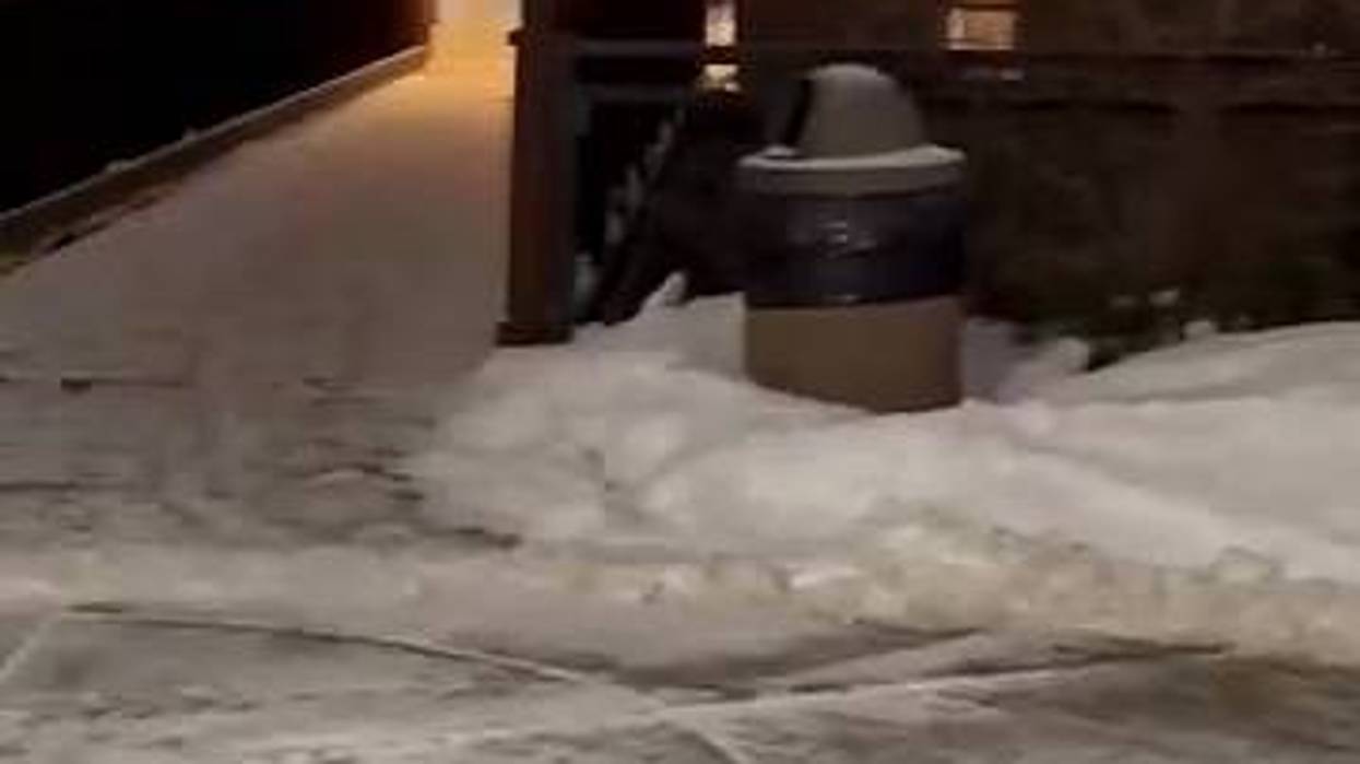
As a flood watch takes effect Wednesday evening, Buffalo's public works department says it's doing its part to help reduce the risk of ice jam flooding.
Public Works Commissioner Mike Finn says Buffalo Police and Buffalo Fire are providing help.
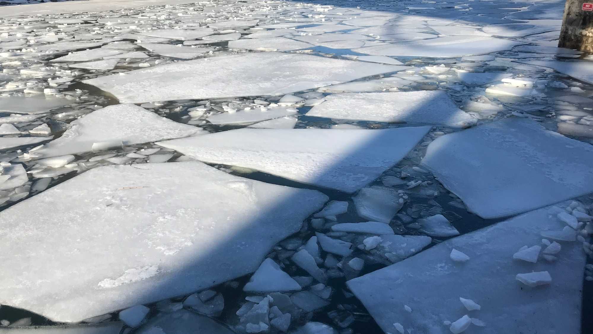
"The Buffalo Police Underwater Rescue Team is out cutting triangles into Cazenovia Creek and Buffalo River. The purpose of those triangles is to weaken the ice and facilitate the and then breaking up as the as the snow thaws from the rising temperatures and there's also some rainfall forecasts for Friday," explains Finn. "The Buffalo Police you our team is well trained to do that that kind of work they're trained to do rescues with with the ice so they have all the proper equipment. They've been doing that for over 10 years."
Finn says Buffalo Fire is on the job too with that classic and all familiar big red boat. "We have the Buffalo Fire Department's historic Cotter out, breaking all the ice they started yesterday and broke the ice from their station right by the Swanee house, all the way out to the mouth of the river out to the Lake Erie. Today, they're working upstream from their station. And they're gonna come all the way up just downstream of the Bailey Avenue Bridge, which is about as far as they can get based on how deep the river is at that point," notes Finn.
Finn says with the way that the forecast is, when the ice jams form, they create actual dams in the Buffalo River Buffalo and Cazenovia creek that can cause flooding. "The flooding has been seen in West Seneca and it happens in Buffalo Cazenovia Park, I would say it's it's likely that they'll see flooding in Cazenovia Park. It's important for everyone to know, though, that for from South Buffalo and Cazenovia Park it was designed to flood in Cazenovia Park to protect the homes that are immediately adjacent to Cazenovia Creek. That project was done in the 1960s 1950s and has worked pretty successfully ever since," adds Finn.
Finn says Buffalo is working with West Seneca along Cazenovia Creek. "The ice and the water doesn't care about municipal boundaries. So we work cooperatively with West Seneca and our neighboring towns upstream we're communicating during the events telling everybody sharing information about what we're seeing what they're seeing. So it helps all of us to be cooperating like this I think there's the flood watches in place," says Finn.
At what point will local meteorologists know how bad flooding will be? "You probably get a better handle on it during the day Wednesday, when we start seeing how warm it actually gets how fast the snowpack ripens and starts to melt down. There are gauges throughout the area that we can start to see this. So it's not going to be till later in the day Wednesday that you can start to see little clues of this," says National Weather Service Meteorologist Bob Hamilton.
Hamilton tells WBEN they'll be watching they key locations and parameters closely as the threat of ice dams looms. "With ice jam flooding, it's extremely difficult to pinpoint areas. Exactly. It's just again, the areas that typically receive it are the ones that have to really watch in the situation," adds Hamilton. When could it become a warning? "What you'll see is a dramatic increase in water levels and it'll be very localized one area may be you know, several feet below flood stage and other areas will be well above that mean the ice jams or you know you'll get very localized flooding, some of it could be significant," adds Hamilton.
The flood watch is in effect until Friday evening.