
Buffalo, N.Y. (WBEN) We're ten days into December and it feels like mid-Winter.
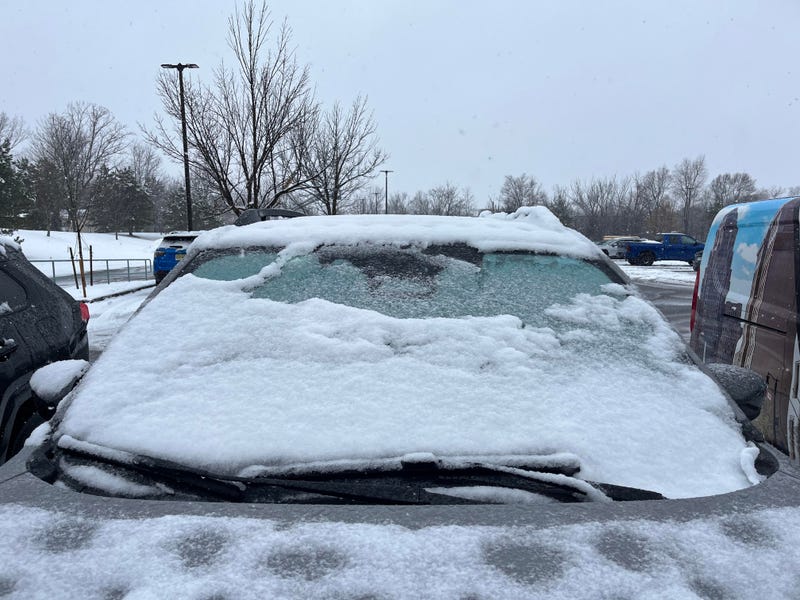
Western New York has been blanketed in the white stuff since Thanksgiving.
Even meteorologists are remarking about the colder than average pattern.
"This is what people would call an old fashioned winter," said Andy Parker on
WBEN. "The wind pattern combined with the cold has brought cold shots of air and given everybody a nice coating and a heaping helping in the southern tier.
Is it too early to talk about the possibility of a white Christmas?
"Not at all," said Parker. "It's like looking at a playoff calculator for the Buffalo Bills. You constantly look at that."
For the next few days it stays cold. Temps will probably remain in the 20's through Tuesday of next week. But between Dec 17 and 20 we are back into the 40's. Then it goes back down again to about 32 degrees.
"Leading up to Christmas, it does look like a weather system will come in, starting in one form and switching to another. It's too early for more details. The thing is that Western New York has a decent snow pack and the ground is colder, so I think we have a good chance of holding on to that during the warm-up."
Historically, there is a 58 percent chance of a white Christmas (an inch or more of snow on the ground) since snow depth records started in 1893, according to the National Weather Service.
The highest temperature recorded on Christmas is 64F degrees in 1982.
The lowest the mercury has fallen to on Christmas is -10F in 1980.