
Buffalo, N.Y. (WBEN) Brace yourself. The long range forecast guidance is calling for some lake effect snow for Western New York early next week.
WBEN Meteorologist Aaron Mentkowski said, first things first, there will be
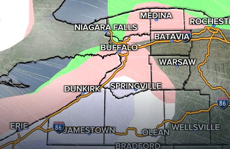
a mix of rain and snow for the southern tier on Thursday.
"The best chance for snow will be over the higher elevations of Cattaraugus and Allegany Counties," he said.
Coming up on Sunday, all of Western New York could see the first real blast of cold air and a lake effect event.
"Starting late Sunday, rain will mix with snow late in the day. Monday will bring the coldest air of the season with highs in the 30's. Expect snow showers and perhaps some lake effect snow as well. It's still way too early for snow totals but all of the models suggest it's cold enough or snow," added Mentkowski.
The timing would be right on schedule.
On average, the first measurable snow occurs on November 8 in Buffalo.