


After another cool day expected across the Buffalo-Niagara region Monday, with a few spotty showers at times, another frosty night is in store for the region overnight into Tuesday.
Daytime high temperatures Monday will be in the lower 50's at best in most areas, and upper 40's across the higher higher terrain.
Conditions turn much colder Monday night, with widespread frost through early Tuesday morning, and freeze conditions across the Southern Tier and east of Lake Ontario.
"More widespread frost tonight into Tuesday morning," National Weather Service meteorologist Jon Hitchcock tells WBEN. "Low to mid 30's everywhere, even upper 20's in the southern tier, so everyone will see a frosty start tomorrow morning."
 AccuWeather.com
Any of those vulnerable plants many received for Mother's Day should be covered or taken inside for the likely freeze conditions, Hitchcock cautions. "The best time to cover will be late afternoon or early evening...cover anything that you want to get through this frosty night."
A Freeze Warning is posted for the Buffalo metro area and most of Western New York, while a Frost Advisory is posted for Niagara and Orleans counties until 9 a.m. Tuesday.
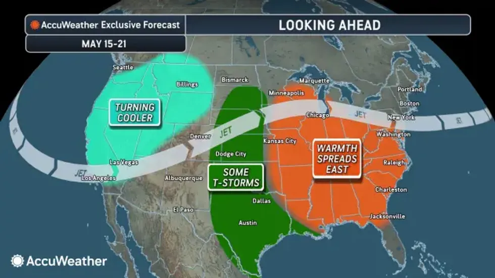
Any Warmup in Sight?
There is some encouraging news from Hitchcock as the work week unfolds.
"It looks like tonight might be the last frosty night of the spring," he says. "We're getting to a warming trend after tonight."
Tuesday highs will be in the upper 50's. Highs Wednesday in the 60's will be followed by a setback Thursday into the 50's.
"For the weekend we see a more marked warmup into the upper 60's to low 70's, and by a week from today we might make a run at 80's."
 AccuWeather.com


