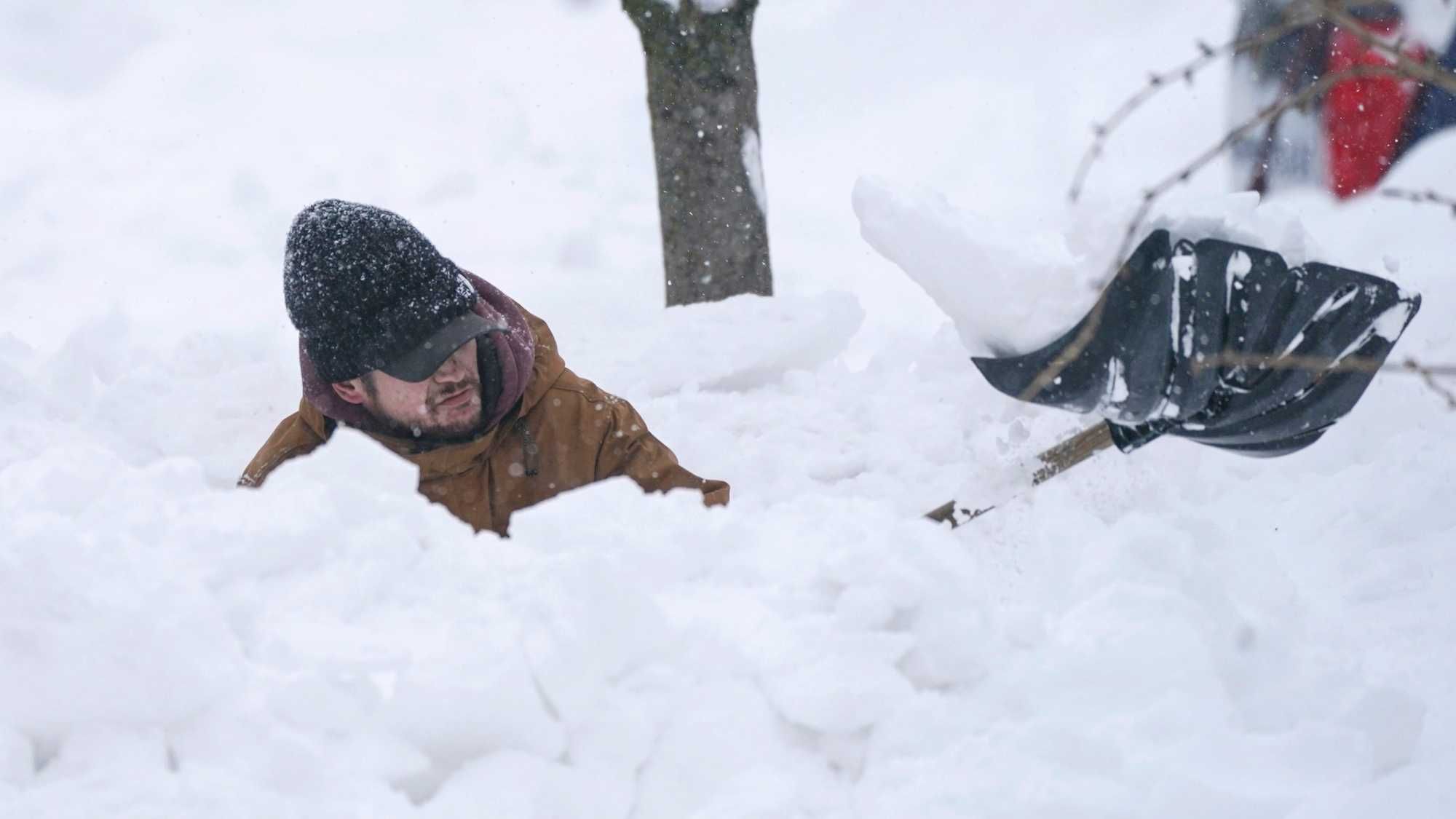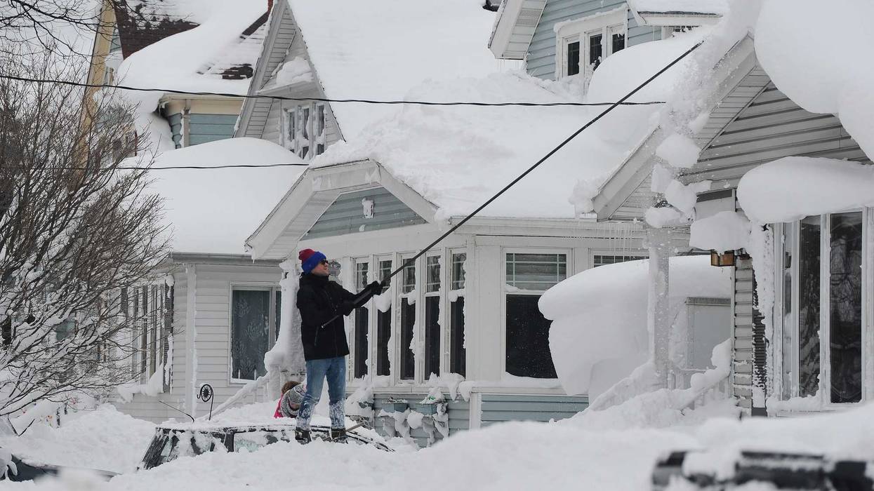
Buffalo, N.Y. (WBEN) - All that snow, snow measured by the feet and drifts that rival vehicles and homes in some cases, will largely melt away through this weekend.
It's hard to imagine, but a warm-up is in the works that will see high temperatures Wednesday above freezing in the lower 40's, Thursday in the upper 40's and Friday in the 50's. The New Year's weekend will also be above normal and some showers are in the forecast too.
It will be 'quite the warming trend', says National Weather Service Meteorologist Kirk Apfel. "It is going to last for a while. We're going to be above normal for the next 7 days."
Apfel says meteorologists will beep a close watch on the melting and says he expects it to be gradual to start, as overnight temperatures will dip belowe freezing. As overnight temps remain above freezing later in the week, the melt-down will intensify. "I would imagine that by this weekend the majority of the snow in most areas will be melted down."
How much snow?
It's difficult to comprehend that the amount of snow we've received in the Christmas storm alone will be gone as the new year rings in.
The Christmas weekend blizzard dumped an offical 51.5 inches of snow at the airport weather station, Apfel says, bring the seasonal total to just over 100 inches to date. "That is more than we average for the entire year and we've already gotten it and we're not even through December."
Some perspective? Last season at this time, Buffalo had registered about 9 inches of snow. And to date in nearby Rochester, that's about how much they've received this season.
"Let the snow melting begin," said Apfel.