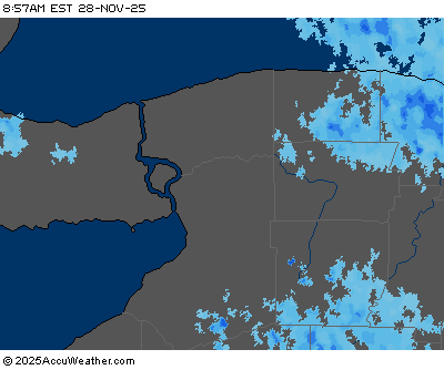
Buffalo, N.Y. (WBEN) - An isolated flood threat remains along Tonawanda Creek after rain transitioned into a slushy snow across the region.
A Flood Warning remains in effect for Tonawanda Creek through Monday night. Tonawanda Creek at Rapids was expected to reach minor flood stage late Sunday morning. "It'll crest sometime late this evening," National Weather Service meteorologist Tony Ansuini tells WBEN. "It will gradually fall to below flood stage by time we get to Monday afternoon."
Lowland flooding of farm areas along the creek is expected mainly between Rapids Road and the Tonawanda Indian Reservation. Tonawanda Creek road may be impacted.
As for all of the Buffalo-Niagara region, rain will slowly transition over to wet snow today. "For the metro area, probably not looking at a lot of snow," Ansuini tells us. "Could be looking at about an inch or so. Better accumulations will be over the higher terrain south and east of Buffalo." Those areas could see between 2 and 4 inches across higher terrain.
The temperature trend that takes hold beginning Sunday should continue into the work week, Ansuini says. "It looks like we'll generally stay in this milder pattern with temperature sin the 30's, probably a good part of this week, then we'll start to cool down by time we get to work next week and into early the following week."
FLOOD WARNING NOW IN EFFECT UNTIL MONDAY EVENING
* WHAT...Minor flooding is occurring and minor flooding is forecast.
* WHERE...Tonawanda Creek at Rapids.
* WHEN...Until tomorrow evening.
* IMPACTS...At 12.0 feet, Flood stage, lowland flooding of farm areas along Tonawanda Creek between Rapids and the Tonawanda Indian Reservation. Flooding may impact Fletcher, Burdick, Kirby, and Tonawanda Creek Roads.
* ADDITIONAL DETAILS...
- At 9:01 PM EST Sunday the stage was 12.8 feet.
- Bankfull stage is 10.0 feet.
- Recent Activity...The maximum river stage in the 24 hours ending at 9:01 PM EST Sunday was 12.8 feet.
- Forecast...The river is expected to rise to a crest of 13.0 feet just after midnight tonight. It will then fall below flood stage early tomorrow afternoon.
- Flood stage is 12.0 feet.
- Flood History...This crest compares to a previous crest of 13.1 feet on 01/27/1999.
WINTER WEATHER ADVISORY REMAINS IN EFFECT UNTIL 4 AM EST MONDAY
* WHAT...Snow expected. Total snow accumulations of 3 to 6 inches across the higher terrain, and 1 to 3 inches in the valleys and lower elevations.
* WHERE...Wyoming, Livingston, Ontario, and Allegany counties.
* WHEN...7 AM SUNDAY to 4 AM EST Monday.
* IMPACTS...Plan on snow covered, slippery road conditions along with reduced visibility. This will be a very wet, slushy snow which will weight down trees and powerlines and may result in isolated power outages.
PRECAUTIONARY/PREPAREDNESS ACTIONS...
Periods of snow will result in snow covered roads and limited visibilities. Slow down and use caution while driving.