
Buffalo, N.Y. (WBEN) - A cold front pushed across Western New York Saturday, developing lake effect snow bands that quickly settled well south of Buffalo and across the southern tier.
Snow moderate to heavy at times east of Lake Erie, across ski country, is in the forecast through Sunday.
A Lake Effect Snow Warning remains in effect for Southern Erie, Chautauqua, and Cattaraugus counties.
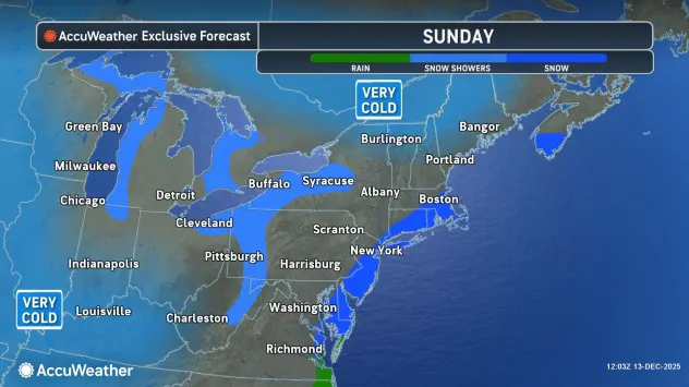
The story for all of the WNY region overnight and into Sunday, will be the bitter cold.

It will be bitterly cold to close out the weekend, with overnight lows in the single digits to inland below zero and highs Sunday struggling to break out of the teens.
A much warmer airmass will arrive by Thursday allowing temperatures to rise will into the 40s and some rain showers are in the forecast.
The warmup will be short-lived, however, with a return to colder air and snow showers for the start of the upcoming weekend.
LAKE EFFECT SNOW WARNING REMAINS IN EFFECT UNTIL 7 AM EST MONDAY
* WHAT...Heavy lake effect snow expected. Total snow accumulations 6 to 12 inches in the most persistent lake snows. Winds gusting as high as 35 mph will produce blowing and drifting snow in open areas.
* WHERE...Chautauqua, Cattaraugus, and Southern Erie Counties.
* WHEN...Until 7 AM EST Monday.
* IMPACTS...Travel will be very difficult at times with snow covered roads and poor visibility.
PRECAUTIONARY/PREPAREDNESS ACTIONS...
Heavy snow will fall in relatively narrow bands. If traveling, be prepared for rapidly changing road conditions and visibilities.