
The snowpack across the Buffalo-Niagara region continues to drastically shrink as temperatures have been remaining above the freezing mark, for the most part, all week long.
The milder conditions, combined with substantial rainfall, have led to the snowpack disappearing act across all of Western New York.
"The overall snow depth is diminishing," National Weather Service meteorologist Dave Thomas tells WBEN. "We still have 6 to 10 inches of snow in the hills across the far east and south of Buffalo, and right here in the Buffalo metro area, we're down to about 2 to 4 inches of snow."
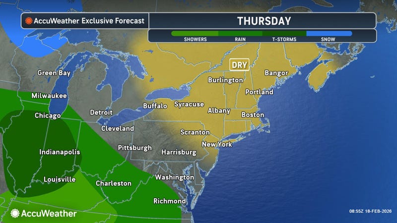
The snow depth took a big hit overnight Wednesday into Thursday as some fast moving thunderstorms moved across much of the area, dropping additional rainfall to wash away more snow.
The rain, combined with overnight temperatures hovering near freezing, led to the threat of some black ice across the area early Thursday as well.
"Last night we had a little freezing rain, and the snow melt has created some slick surfaces," Thomas said of the Thursday early morning conditions. As temperature quickly hop above the freezing mark Thursday, that threat will dissipate.
More rain is in the Friday forecast and meteorologists will continue to keep a close watch on area creeks, streams and rivers for any ice jam potential.
"So far, so good," Thomas says of ice jams. "It's been a kind of slow warmup in temperatures, so we're doing fine in that department for right now."
As cold air deepens through the weekend, light snow showers will be in the forecast.