


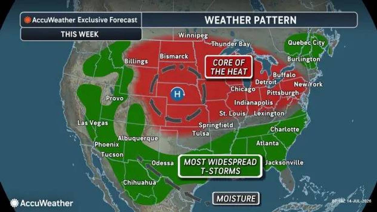

Buffalo, N.Y. (WBEN) - A one-day heat event will bring humid temps to the Buffalo-Niagara region Tuesday as a Heat Advisory is posted for all of Western New York from 11am-8pm.
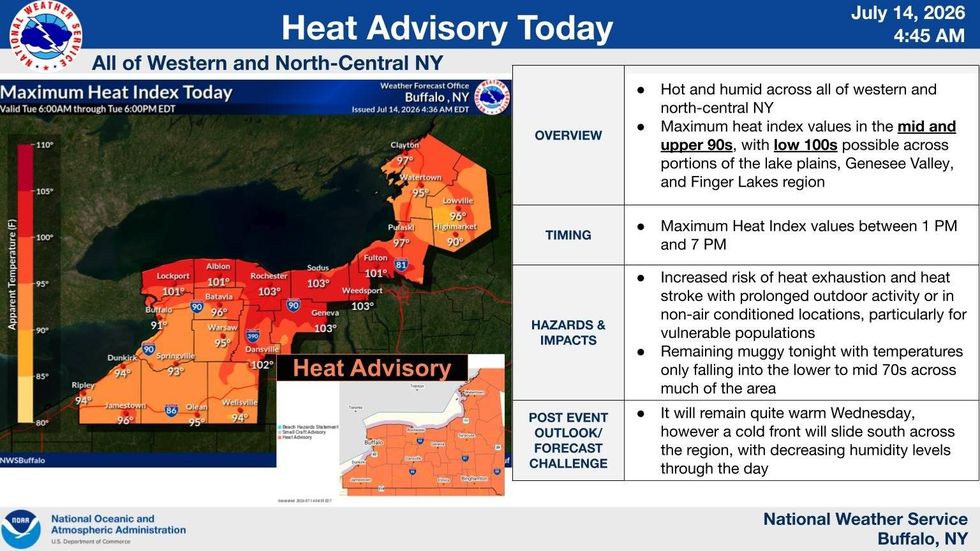
"As we go through the afternoon we're gonna see heat index values creep up into the mid-90s here in the Buffalo area," National Weather Service meteorologist Jim Mitchell tells WBEN. It will be even hotter northward, with feels like temps hitting the low 100s in Niagara and Orleans counties.
A Beach Hazards Statement has also been posted for Erie County from 10am through Tuesday evening as winds create large waves and dangerous swimming conditions.
The good news is a slight cold will move in Wednesday, with temperatures remaining very warm but less humid.
"It's still gonna be quite warm tomorrow but it will bring down the humidity levels so it won't feel as bad as it does today."
HEAT ADVISORY REMAINS IN EFFECT FROM 11 AM THIS MORNING TO 8 PM EDT THIS EVENING
* WHAT...Heat index values in the mid to upper 90s expected.
* WHERE...Erie, Jefferson, Lewis, Genesee, Wyoming, Chautauqua, Cattaraugus, and Allegany Counties.
* WHEN...From 11 AM this morning to 8 PM EDT this evening.
* IMPACTS...Hot temperatures and high humidity may cause heat related illnesses to occur.
BEACH HAZARDS STATEMENT IN EFFECT FROM 10 AM EDT THIS MORNING THROUGH LATE TONIGHT
* WHAT...Strong currents and dangerous swimming conditions expected.
* WHERE...Beaches of Erie county.
* WHEN...From 10 AM EDT this morning through late tonight.
* IMPACTS...Strong currents and dangerous swimming conditions.
PRECAUTIONARY/PREPAREDNESS ACTIONS... Stay out of the water to avoid dangerous swimming conditions.
 National Weather Service


